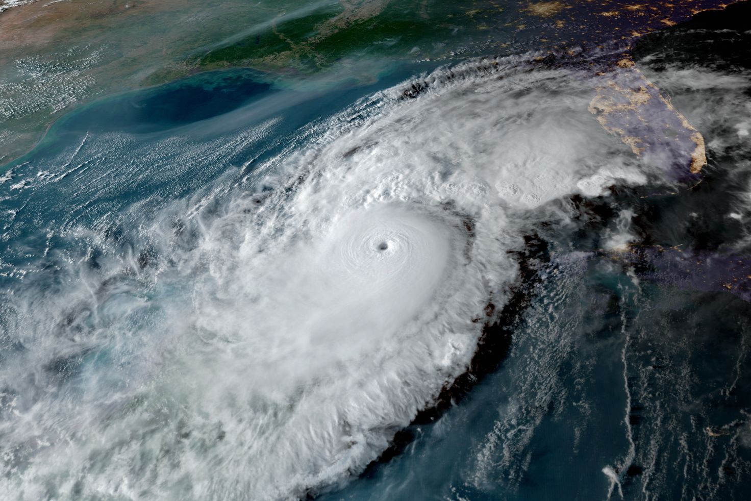
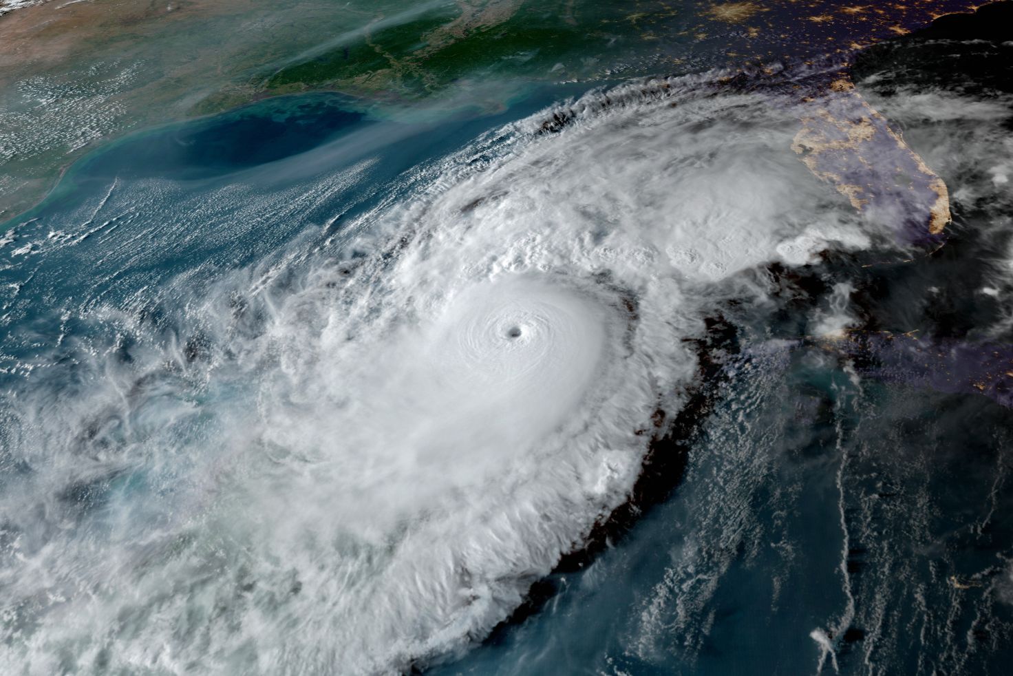
Tropical Storm Idalia Has Formed in the Caribbean

Tropical Storm Idalia has formed in the Caribbean
Image: NOAA
Tropical Storm Idalia has formed in the Caribbean Sea, and a hurricane watch is now in effect for much of the west coast of Florida, including Tampa Bay and all of the Sarasota metro area. A burst of tropical storm activity has come to pass—as I have been warning for the past few weeks—and a potentially historic peak hurricane season is arriving.
Idalia is the fifth new tropical system in the past week or so, the 10th tropical storm of 2023, and the 94th tropical storm in the past five years.
This morning's satellite imagery showed the storm's low level center forming.
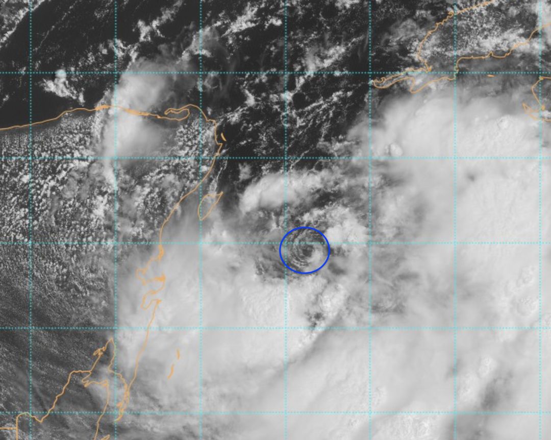
Tropical Storm Idalia has formed in the Caribbean Sea.
Image: NOAA
Inside the blue oval, you can easily see a depiction of the center forming.
Next is a water vapor image, taken recently by NOAA's GOES Satellite.
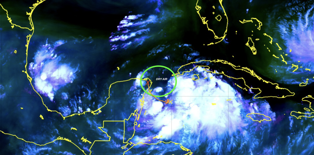
Dry air is slowing down the storm's formation.
Image: NOAA
The green oval, above, is mostly black, which means the air is dry. That dry air is slowing the storm's formation—for now.
The orange X over the Yucatan Peninsula shows the spot where the storm was centered yesterday. The orange arrow shows its path since then, and the yellow X shows the location of the storm's center now.
The storm has drifted southeast, which is a bad sign for the west coast of Florida. Had it moved into the Gulf of Mexico from its position yesterday, the northern Gulf states would have been the target.
However, this southeast drift means the storm could eject into the Gulf from eastern Cuba, which is the worst possible location for Florida.
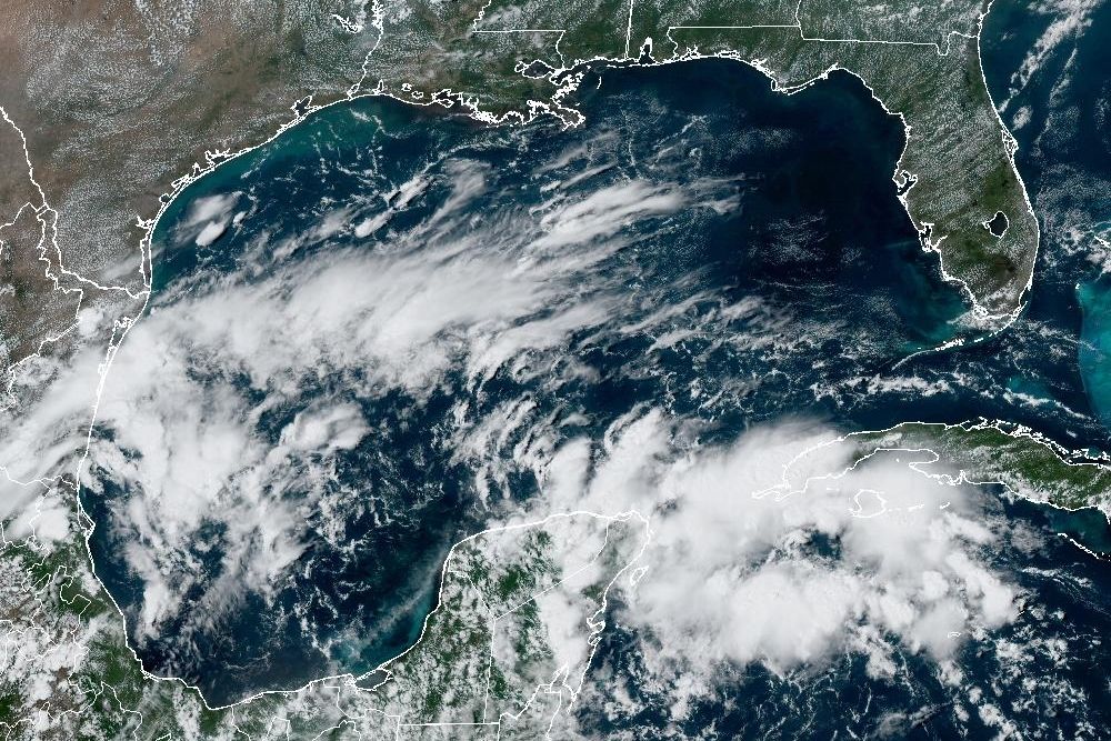
Here are current sea surface temperatures (SST) and path outline updated.
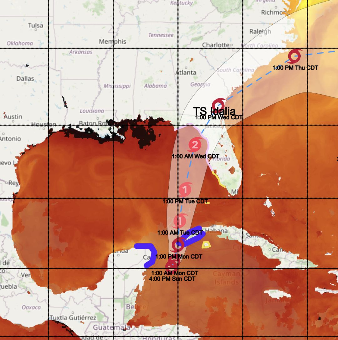
The red color is the sea surfaces temperatures above 86 degrees Fahrenheit. These hot sea temperatures will feed the storm the energy it needs to grow.
Image: NOAA
Idalia, with its center still forming, is expected to brush Cuba's western province. The blue lines are the tropical storm warnings that are in effect now.
The storm should continue drifting slowly for at least another day. As it continues to form, details will change, helping crystallize its impacts here.
The storm's projected path is the cone. The eye of the storm is projected to be within this cone at the time stated. The storm's center line is not important now. In fact, notice how the storm warnings in blue and the watches in yellow are mostly outside the cone. That's because the storm's impacts extend outward from the eye.
The red color in the image above indicates SST above 86 degrees Fahrenheit. These hot sea temperatures will feed the storm the energy it needs to grow. Plus, wind shear above the storm is light. That means Idalia is likely to move into the Gulf of Mexico as a Category 1 storm.
Although the storm is currently expected to become a Category 2 hurricane, there is still considerable risk that it could become a major hurricane before it crosses the Florida coast. The path of the storm's eye is within striking distance of both Tampa and/or Sarasota.
Do not let your guard down. The storm's forecast path will change somewhat depending on how its structure evolves. Right now, it looks like its northeast and southeast quadrants will be the most severe. Again, this will mean serious impact potential.
Additionally, a full super moon falls on Aug. 30. That means tides will be higher as the storm moves up the west coast—even if it is offshore.
Finally, remember that a Category 2 hurricane today will have much higher storm surge and tides because sea levels are 9 inches higher than they were in 1950. All of these elements—the super moon, the sea rise and the record SST—combine to increase the threat.
Since the Suncoast is in Idalia's potential path, please get your affairs in order. What is your elevation? Where will you go if evacuations become necessary? Will you move your autos to higher ground? Do you have your important papers packed so you can take them with you? Are you prepared for long lasting power outages?
Irma, Ian and now Idalia—need I say more?
Bob Bunting is a scientist, entrepreneur and educator and the CEO of the nation’s first Climate Adaptation Center (CAC), headquartered in Sarasota. The Climate Adaptation Center is an expert resource to inform government, academe and the private sector so they can create the necessary adaptation strategies and actions to protect the Florida way of life and foster the climate economy as well as larger global solutions evolve to solve the climate problem. For more information, visit theclimateadaptationcenter.org.