Ian Will Now Make Landfall as a Near-Category 5 Hurricane
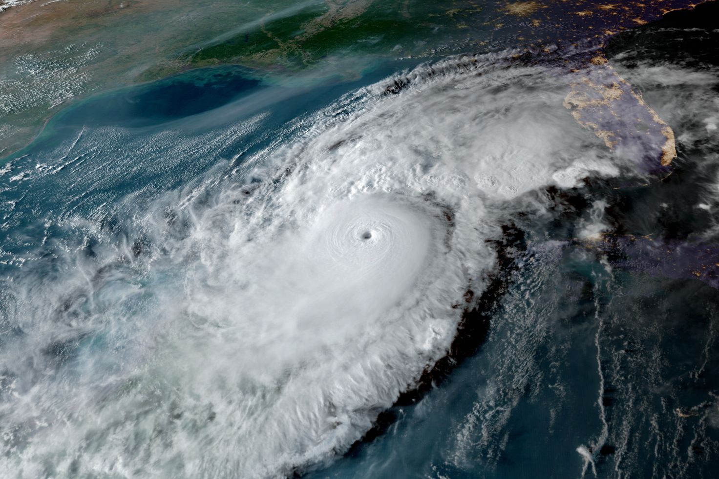
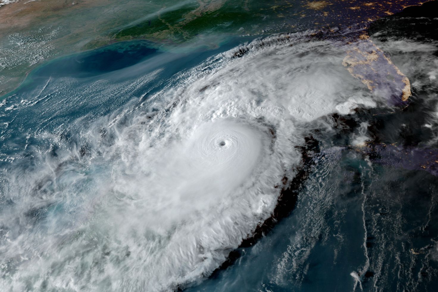
Hurricane Ian on Wednesday morning, Sept. 28.
Image: NOAA
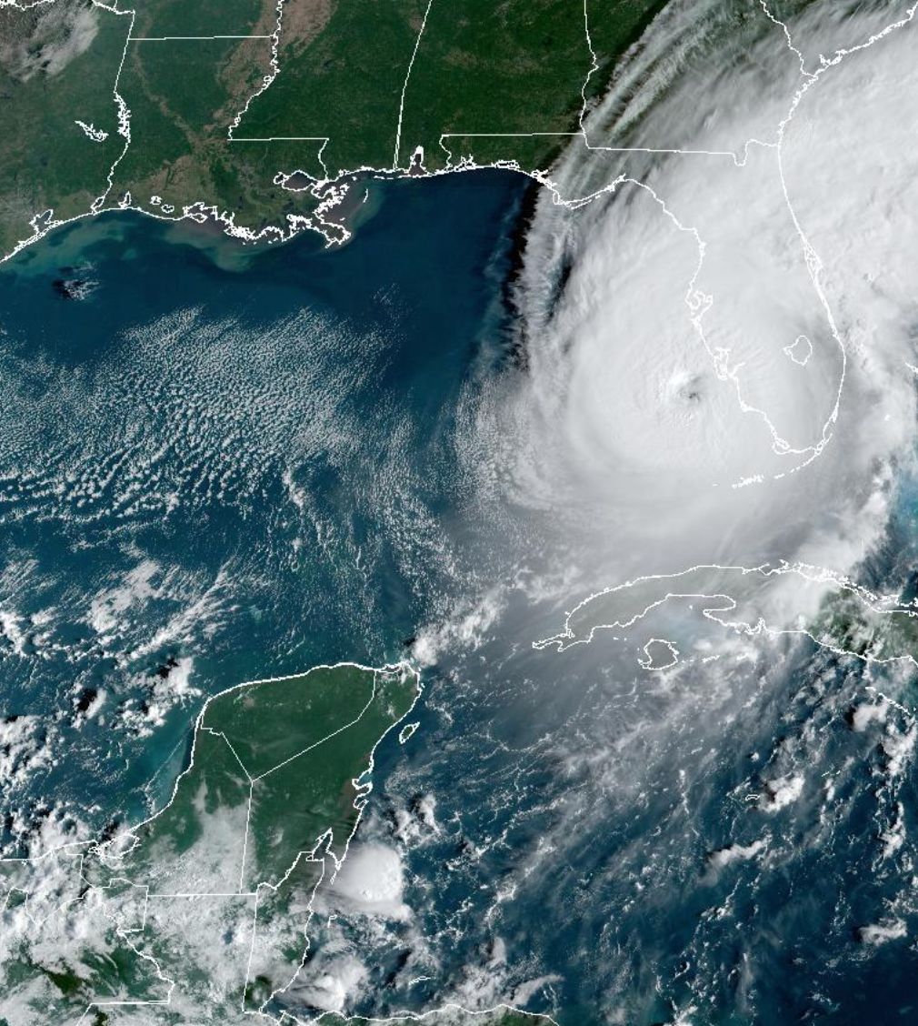
Ian is moving mostly northward approaching the southwest coast of Florida. The now Category 4 storm, with winds of nearly 155 mph—just two miles per hour shy of a Category 5—has gone though a eye replacement cycle, and the eye and the hurricane and gale force winds have expanded. It also resulted in the wobble of the eye eastward and that has changed the center of the strike area where the eye of Ian will cross the coastline.
Because the coastline of southwest Florida bulges into the Gulf of Mexico south of Sarasota, it now looks like the eye will come ashore sooner and in the area from Venice to Port Charlotte on our Suncoast.
We will see unbelievable impacts from this hit on the southwest coast.
Taken together all these changes do have some impacts especially to the north of Sarasota, where wind and storm surge will be somewhat less intense sparring Tampa Bay from what we will see further south.
In the Sarasota metro area, including the barrier islands, the change means peak winds will be 10 to 20 mph less so maximum winds in our area peak in the 80 to 90 mph range.
Gales have begun and hurricane force-winds will arrive late this afternoon and continue though early Thursday morning, with gales continuing tomorrow during the day.
While storm surges will be less in the metro Sarasota area they will cause flooding issues. Any wobble of the eye of Ian to the north today will increase the storm surge for the metro area. Remember, these storms are dynamic and they bump along rather than travel in straight lines.
The hazard from extremely heavy rains has increased and we may see 15 to 20 inches of rain with some spots with 2 feet of rain to a wide area north of the eye landfall! Extensive flooding will occur with these kinds of intense rainfalls.
This is the time to listen very carefully to government officials' orders. Remember, the power grid will be damaged and electricity will go off and roads will quickly become dangerous to navigate.