Get Ready for an Active Hurricane Season
Image: NASA
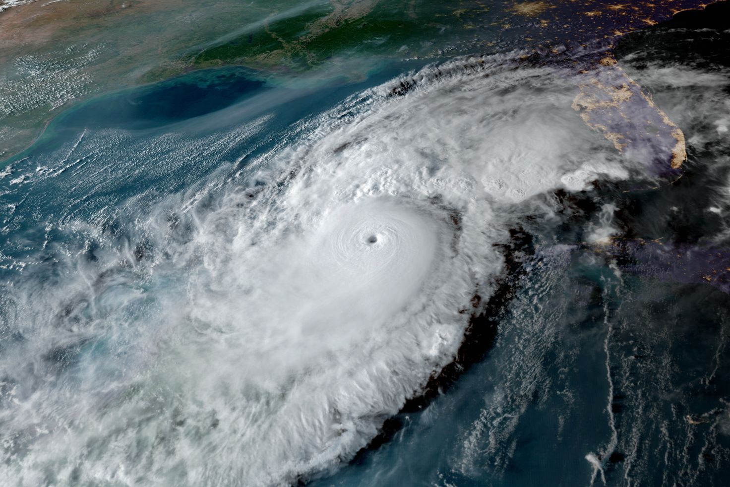
Atmospheric scientist and CEO of Sarasota’s Climate Adaptation Center Bob Bunting described last hurricane season, with its record 30 storms and six major hurricanes, as a “barn burner.” The 2021 hurricane season, which officially starts on June 1 and goes through November 30, looks like it will be more active than normal, too.
The Climate Adaptation Center (CAC) is predicting a “very active” season with 20 named storms—less than last year—10 of which may be hurricanes. Of those, five are predicted to become major hurricanes of Category 3-5 strength. A “normal” season usually sees three major hurricanes.

Sea Surface Temperatures (SSTs) are warmer than usual, which mean favorable conditions for hurricanes.
Image: Courtesy Photo
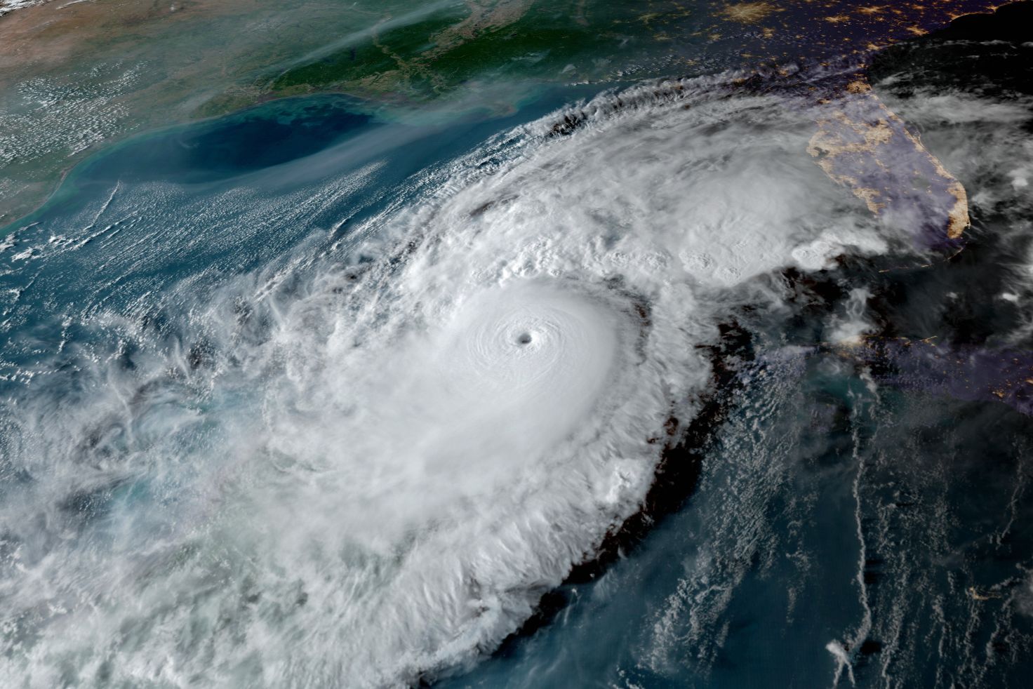
Bunting bases his forecasts on ocean temperatures, winds and Pacific Ocean weather patterns. The subtropical Atlantic is much warmer than normal right now, which means hurricanes will be forming well north of where they normally form. “Since the Atlantic is so warm, the whole East Coast is going to be at higher risk than normal, and that includes Canada,” he says. “A storm could reach Canada with hurricane force winds.”
The Gulf of Mexico is also much warmer than normal, adding to the possibility that stronger hurricanes may impact the west coast of Florida and the Panhandle.
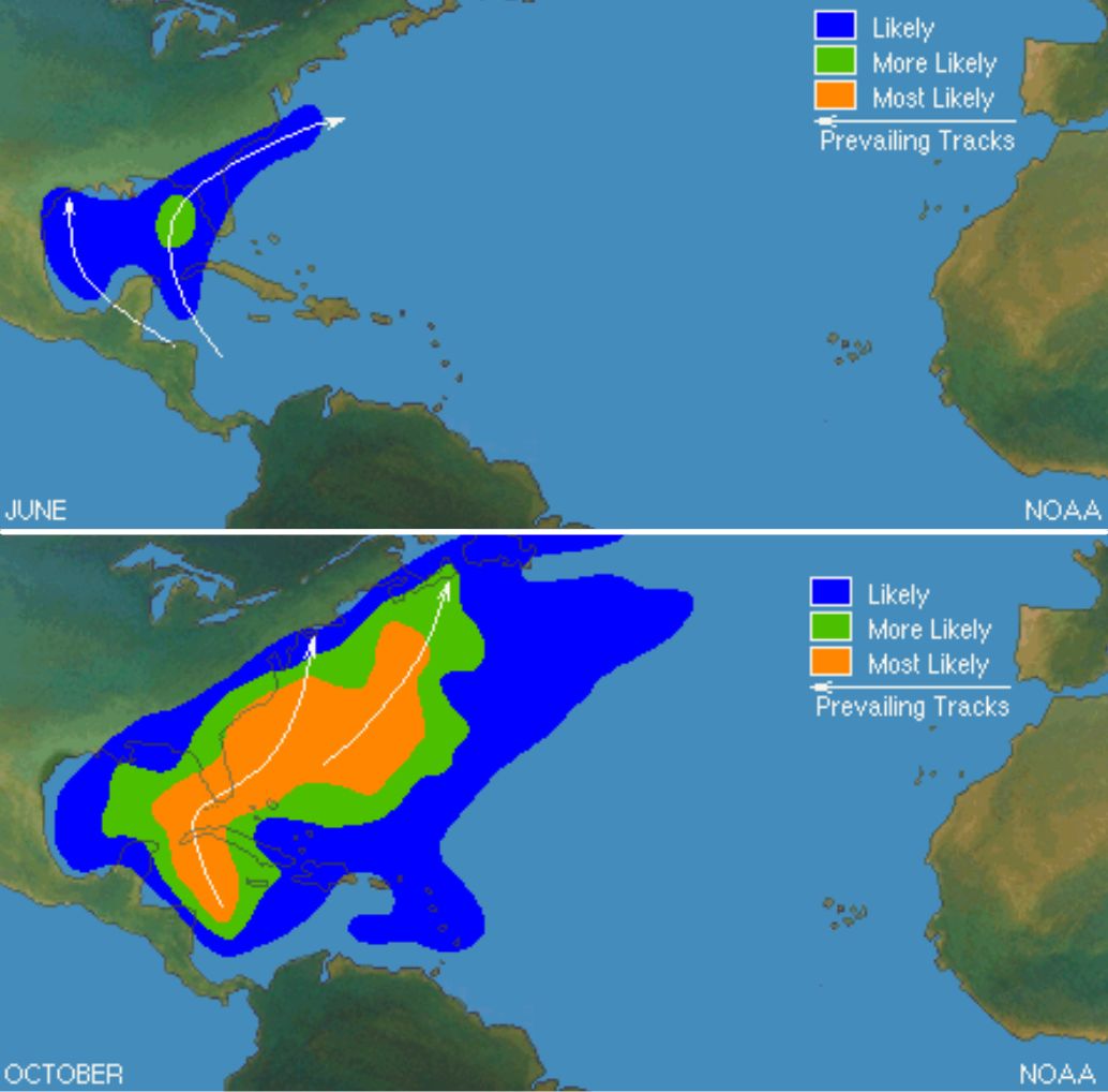
National Hurricane Center storm track predictions for June 2021, top, and October 2021, bottom.
Image: Courtesy Photo
The weaker La Nina in the Pacific means we won’t have a lot of wind shear this season, Bunting says, and we won’t have the outbreak of Sahara dust that weakened tropical storms like we did last June and July. That means we could have stronger hurricanes as early as June. Sarasota and the southwest coast of Florida face the biggest threat in October, “when the worst storms often form and the climatology favors hits from storms forming in the Yucatan area,” he explains.
Bunting says Sarasota and Manatee haven't seen a major hurricane since Hurricane Donna, a Category 3 storm, in 1960, and, geologically speaking, the southwest coast of Florida has been in a sweet spot. The shape of our land mass and the rotation of the planet have meant that hurricanes have tended to travel south or head north toward the Panhandle. But that may be changing.
“We have a trend where hurricanes are slowing down and becoming more erratic because the jet stream is not as strong in a climate-warmed world," Bunting says. "We could have a hurricane taking an unusual path and that would be one way we’d lose our immunity. With longer seasons and storms that are stronger, it just takes one. We’ve haven’t been vaccinated against hurricanes!”
For a more complete, just-released 2021 hurricane forecast, go to the Climate Adaptation Center.