


Help the Sarasota Bay Estuary Program Check on Our Seagrass This Weekend
The different types of seagrass found in Sarasota Bay are often referred to as the water's rainforest, because of the abundance of life they support. In fact, a single acre of seagrass can support as many as 40,000 fish.
Seagrass also helps improve water clarity, stabilize sediment and reduce erosion, a common issue during hurricane season that threatens Florida's coastline.
In an effort to help keep this vibrant underwater world thriving, the Sarasota Bay Estuary Program asks citizens to explore and collect data about our seagrass twice a year. The Seagrass Survey for spring 2022 has already begun and will culminate in an in-person gathering and festival from 8 a.m. to 1 p.m. this Saturday, April 30, at the Sarasota Sailing Squadron.
Never surveyed seagrass before? No problem. The Estuary Program has an app, Survey123, that you can download on your smartphone that walks you through the process step by step. You will be assigned a zone to survey and given prompts to fill out regarding water visibility, depth, the percentage of seagrass and the presence of wildlife.
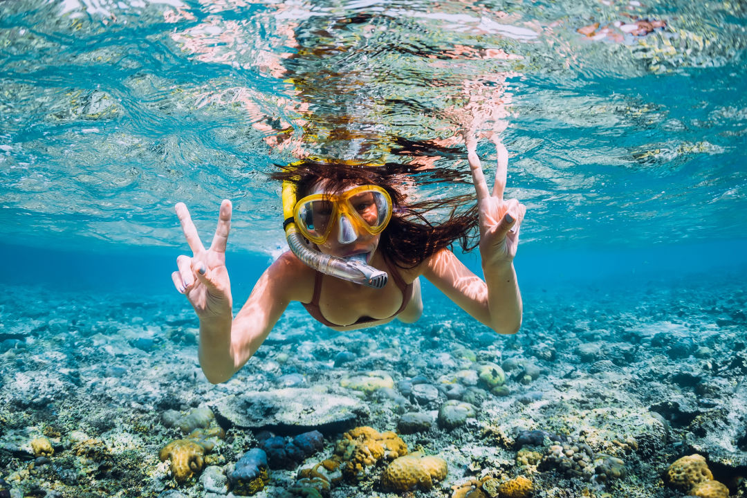
If you have a boat and snorkeling gear, you can park your boat and spend the morning snorkeling in shallow water. Students can also receive community service hours for participating.
This Saturday's event is zero-waste, meaning participants must bring their own coffee Thermos or reusable water bottles, plates, cutlery and cloth napkins. The food provided will come with a lesson on composting.
Here are 10 tips to help you be the best citizen scientist at this year's survey, courtesy of a video produced by Sarasota County:
1. Become familiar with the zone you are assigned to.
Stay within the radius shown on the app. Record your latitude and longitude using the app or your boat's navigation system if you are taking a boat.
2. Display your dive flag when in the water.
Follow boat safety protocol and be careful when snorkeling in high boat traffic areas.
3. Use a provided PVC pole to measure water depth.
These poles can be picked up at the Sarasota Bay Estuary Program's physical location. The poles use meter hash marks representing one tenth of a meter.
4. Record water's visibility.
If you can clearly see to the bottom, mention that on the app or on a physical survey sheet.
5. Identify the sediment type: sand, muck or a sand and shell combination.
You can do this by picking up a handful and checking it. Muck will look more like dirt than sand.
6. When looking at seagrass, focus on the big picture of its health and quantity.
Don't count every blade of grass. Estimate what percentage of the bottom is covered in it.
7. Identify the type of seagrass. There are four kinds that grow locally.
Turtle grass is flat and wide like fettuccine noodles, manatee grass is long and slender like spaghetti noodles, shoal grass is flat and narrow and grows mostly in shallow water and paddle grass is branched and has a leaf or "paddle" on the end. Record this in the app.
8. Use a measuring tape to measure the height of certain blades of grass.
Some will be longer than others, which help scientists determine where seagrass is growing best.
9. Assess and record the presence of algae on the seagrass.
Some of it may grow on the seagrass or next to it, depending on the species. It could also be hindering seagrass growth, so take note of that, too.
10. Record and take pictures of sea life you encounter.
From clams to crabs to small fish, take pictures of the marine life you see thriving in the seagrass, if it is safe to do so.
To register for the seagrass survey, click here or call (941) 861-5000. The festival on Saturday, April 30 will take place at 1717 Ken Thompson Parkway, Sarasota, from 8 a.m. to 1 p.m.


