Hurricane Forecast Predicts 22 Named Storms—Including Five Major Hurricanes
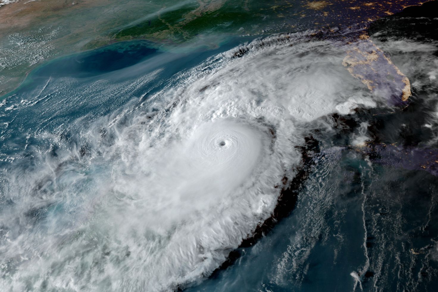
2020's Hurricane Eta, one of 30 named storms that year.
Image: National Hurricane Center
Sarasota's Climate Adaptation Center on Friday unveiled its 2022 hurricane season forecast, predicting a total of 22 named storms. According to the center, between nine and 11 are likely to develop into hurricanes, with five predicted to become major hurricanes.
Last year, the center predicted 20 storms would form, one short of the actual total. During the previous year, a record-breaking 30 named storms darted across the Atlantic Hurricane Basin, which includes the Atlantic Ocean, the Caribbean and the Gulf of Mexico.
"Fifty-one storms in two years isn't normal,” said Bob Bunting, the chairman and chief executive officer of the center, on Friday.
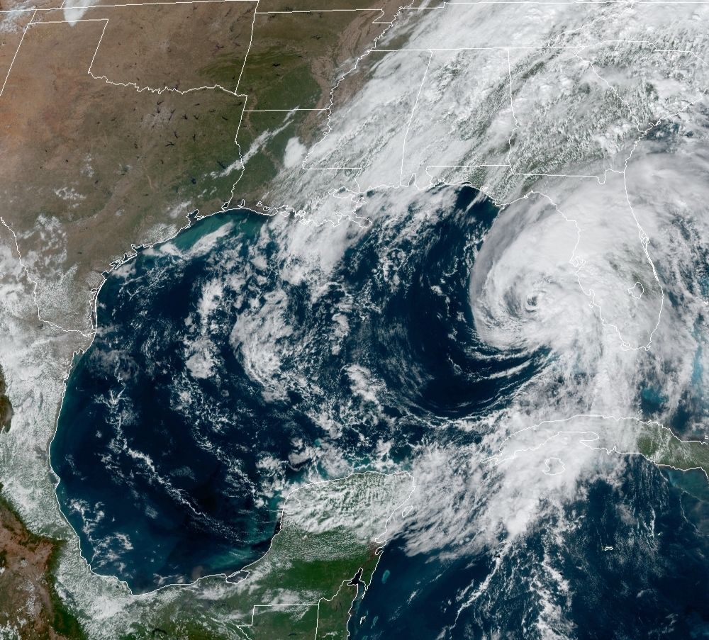
A main contributing factor is the rising temperatures of seawater. The center's forecast highlighted a warm loop current in the Gulf of Mexico that is already 4 degrees Celsius warmer than normal and capable of fueling a rapid intensification of a tropical storm into a major hurricane in just a day or two.
"Our entire area of interest is already warm enough to spawn tropical storms and it's only mid-April," Bunting said.
Storm season typically starts in May and peaks around September, then starts dying down during the first week of November, but now the season is growing longer. "By 2050, it'll be April through December thanks to the warming climate," Bunting said.
"We have 10 million residents living in this area and I'm not sure that we've addressed what we'll do to respond to a hurricane," he added. "Given these changes in hurricane characteristics, we need to shift our focus to prevention and not just responding after the fact."
He pointed to the Fruitville Road and U.S. 41 roundabout and the area around The Ritz-Carlton as particular areas of concern for flooding. "Infrastructure is behind to respond to the changes and with the explosive development here, there will be a lot of people who can't evacuate," he said.
Since the use of satellite imagery in weather forecasting began in the 1960s, the frequency of category 4 and 5 hurricanes has doubled. And with sea levels rising an average of 9 inches since 1950 and the center forecasting a rise of an additional 11 inches by 2050, impact from storms will only grow.
Alex, Bonnie, Colin and Danielle are four of 22 names planned for this year’s storm season. Let's hope we never meet them.
To support the Climate Adaptation Center's work during this year's Giving Challenge, April 26-27, click here.