As Hurricane Helene Nears, the Potential for Flooding Looms
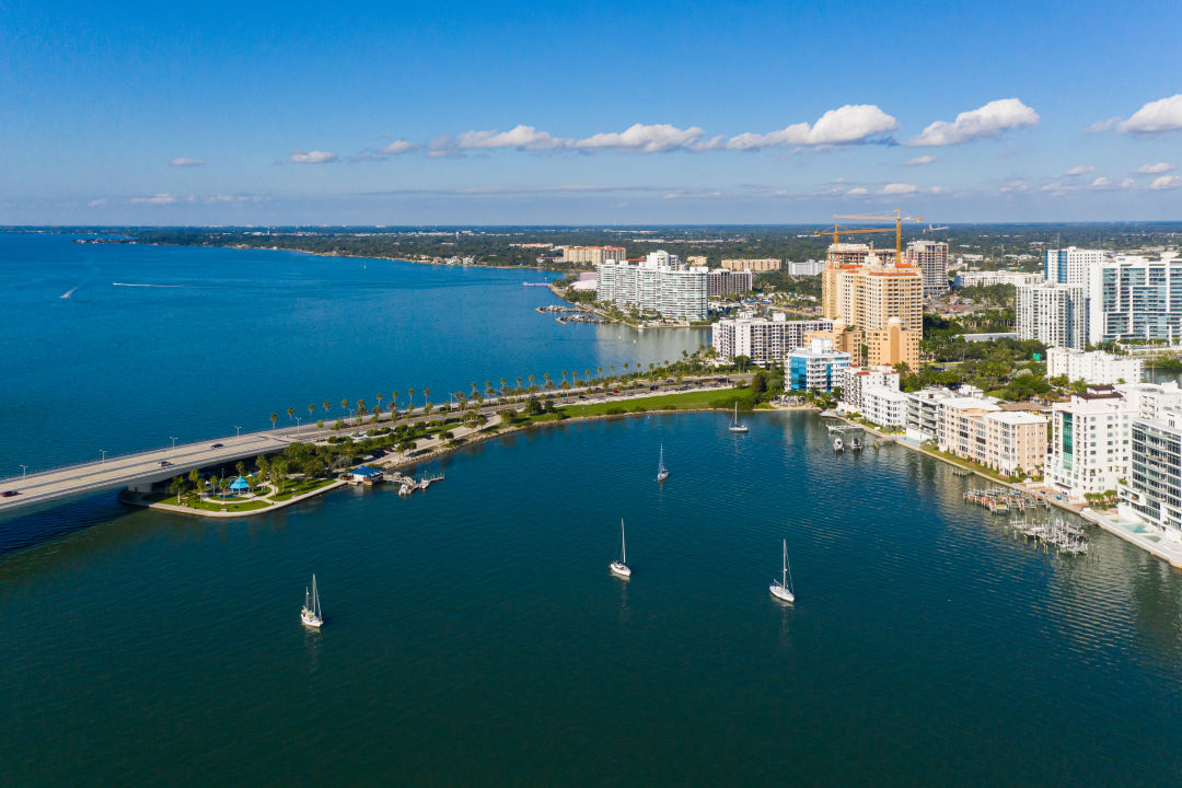
As Tropical Storm Helene approaches the Gulf Coast, Sarasota residents are bracing for the possibility of flooding. Dave Tomasko, the executive director of the Sarasota Bay Estuary Program, says the region could be facing a heightened risk of flooding due to already saturated ground from recent rains and Hurricane Debby.
"We’re not expecting more than 4 to 6 inches of rain, but that's what was forecast with Debby—and we ended up getting more than 10 inches," says Tomasko. "When the ground is already saturated, it doesn’t take much. Even 1 or 2 inches of rain could lead to flooding."
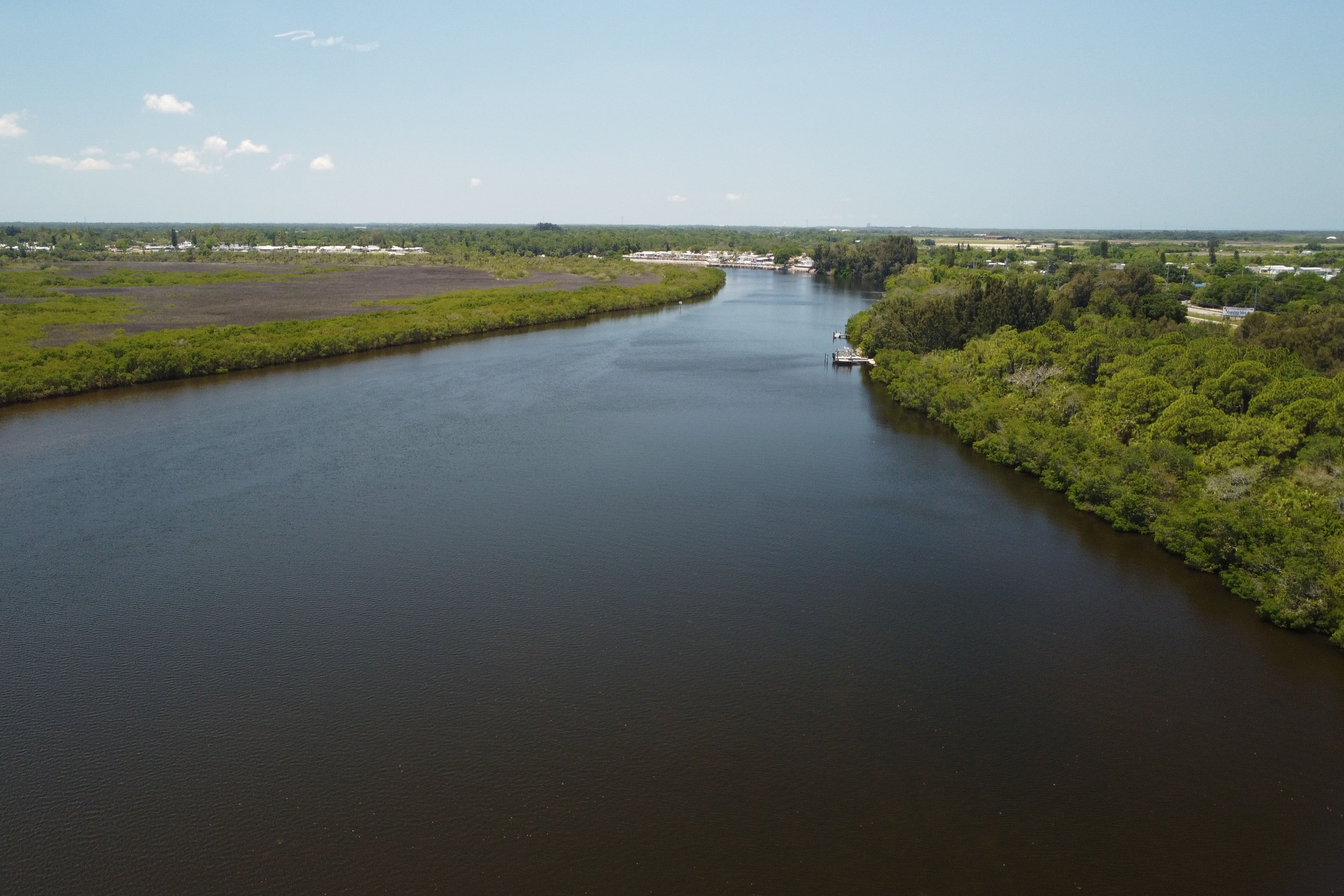
According to Tomasko, it's still too early to tell if this storm will bring significant flooding. But he is urging residents to keep in mind the impact of Debby and last year's Hurricane Idalia, which nearly completely flooded the only roads to and from the region's barrier islands. Both previous storms were tropical systems more than 100 miles offshore, and Helene has the potential to create a similar impact. Possibly reaching Category 3 strength, it could bring a combination of heavy rain and storm surge similar to Idalia. "If Phillippi Creek can't discharge into Sarasota Bay because the water is already too high, the rainwater just backs up," he says. "That means substantial flooding is possible."
Flooding isn’t just an immediate concern; it also has long-term effects on water quality. After Debby, Sarasota Bay experienced significant effects from an influx of freshwater, leading to what Tomasko calls "salinity stratification."
"When freshwater sits on top of saltwater, it cuts off sunlight and oxygen to the bottom layers," he says. "After Debby, parts of Little Sarasota Bay lost oxygen completely, causing fish kills." Larger fish can swim away from affected areas, but smaller creatures like crabs, clams, starfish and worms are not as lucky. Decomposition of these animals can then cause bacterial levels to rise, further degrading water quality. "We saw similar effects after Hurricane Ian in 2022 and in Charlotte Harbor following Hurricanes Charley, Frances and Jeanne," Tomasko says.
While flooding events are often temporary, Tomasko is concerned about their increasing frequency. "Between 2013 and 2019, over 1 billion gallons of stormwater entered Sarasota Bay, resulting in one of the worst red tide outbreaks in decades and a 20 percent loss in seagrass," he says. "Episodic events are manageable, but if we start seeing multiple major rainfalls every year, it becomes a chronic issue." He likened the situation to feeding a dog half its normal portion every day. "Once or twice isn’t a big deal, but keep doing it and it’s a problem," he says. "That’s what we’re facing with the bay."
Tomasko points to broader climate trends exacerbating the trends. “Our air is warmer now than it was throughout most of the 20th century, and that includes the air over the Gulf of Mexico, which is warmer than at any time on record,” he says. Warm water and moist air are fuel for tropical storms and hurricanes, transforming them into what Tomasko calls "heat engines." The bay, he notes, is also warmer than ever.
“A healthy bay makes us more resilient to these challenges, but make no mistake—the next 30 years won’t look like the last 30," says Tomasko. "If you live near the water, be aware that things are changing."
With another storm on the horizon, many residents are wondering if this year's flooding will prove to be a rare occurrence, or just part of a new normal shaped by a shifting climate. June saw the second 1,000-year flooding event Sarasota has experienced in the past two years. Going forward, "maybe years like this won't be so abnormal," says Tomasko.
Click here to find out where to get sandbags; here to receive Sarasota County severe weather notifications; and here for Manatee County severe weather updates.