



Isaias Comes Ashore Tonight. It's the 11th Major Hurricane to Hit the Gulf Coast in 10 Years.
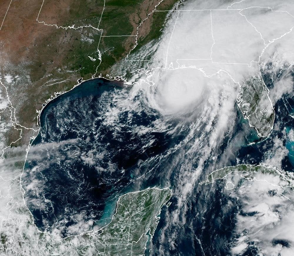
Image: NOAA
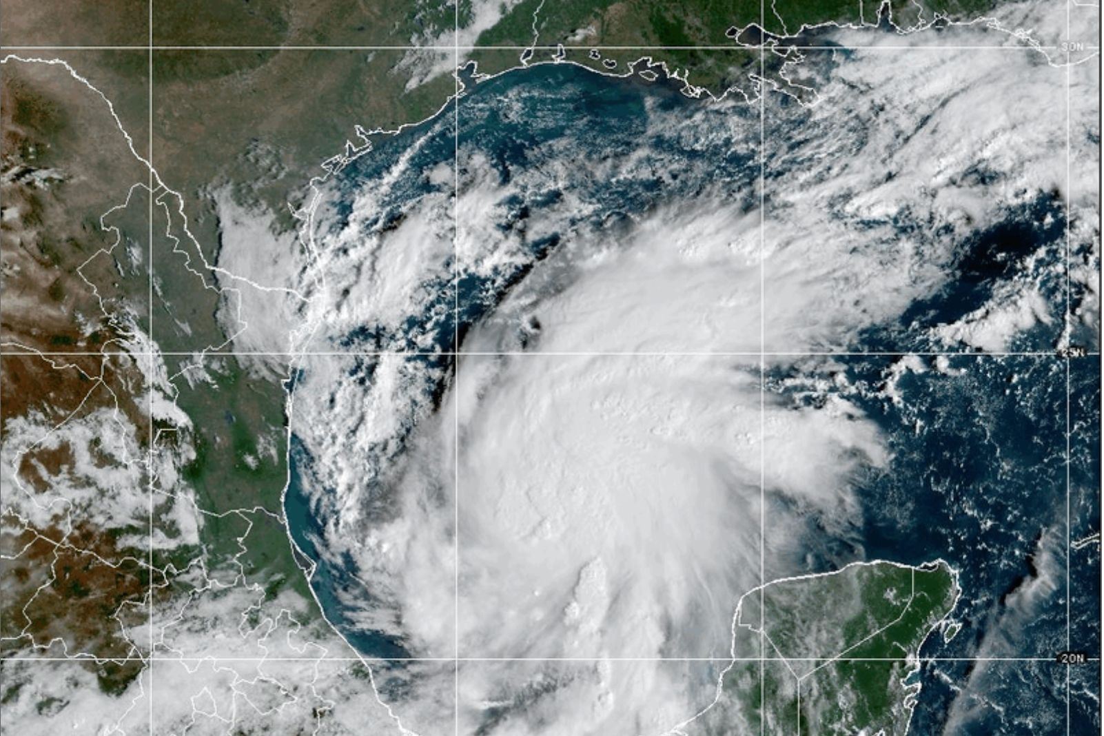
Two days ago, I wrote here that Tropical Storm Isaias would likely become a hurricane and threaten the northern Gulf Coast as a strong Category 2 after possibly attaining Category 3 status.
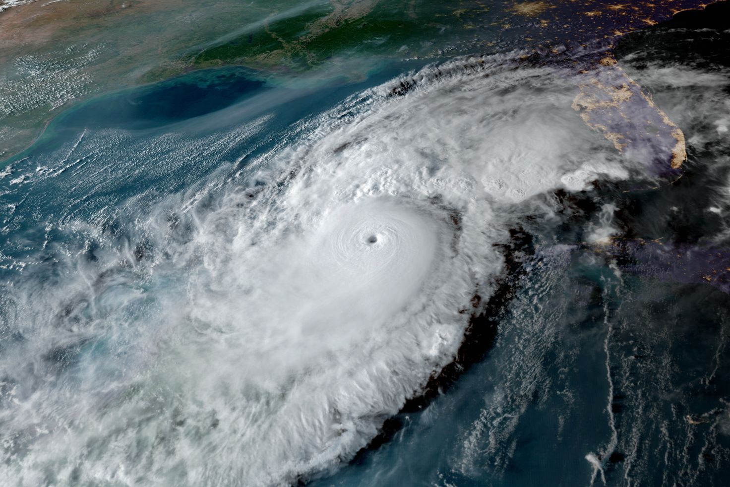
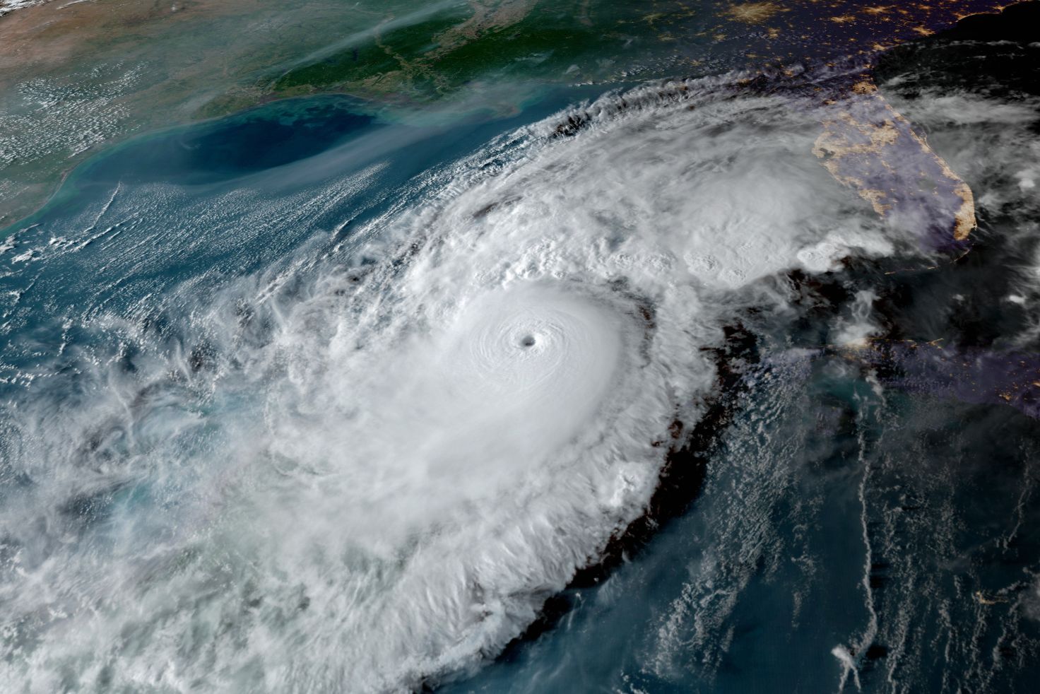
This afternoon, Isaias is a major Category 3 hurricane with 120 mph winds, moving north-northeast at 16 mph, and its center is expected to reach the western Florida Panhandle coast tonight. If you live from the Panhandle to coastal Alabama, tonight is the night to go somewhere safe. Life-threatening storm surge and devastating winds are likely.
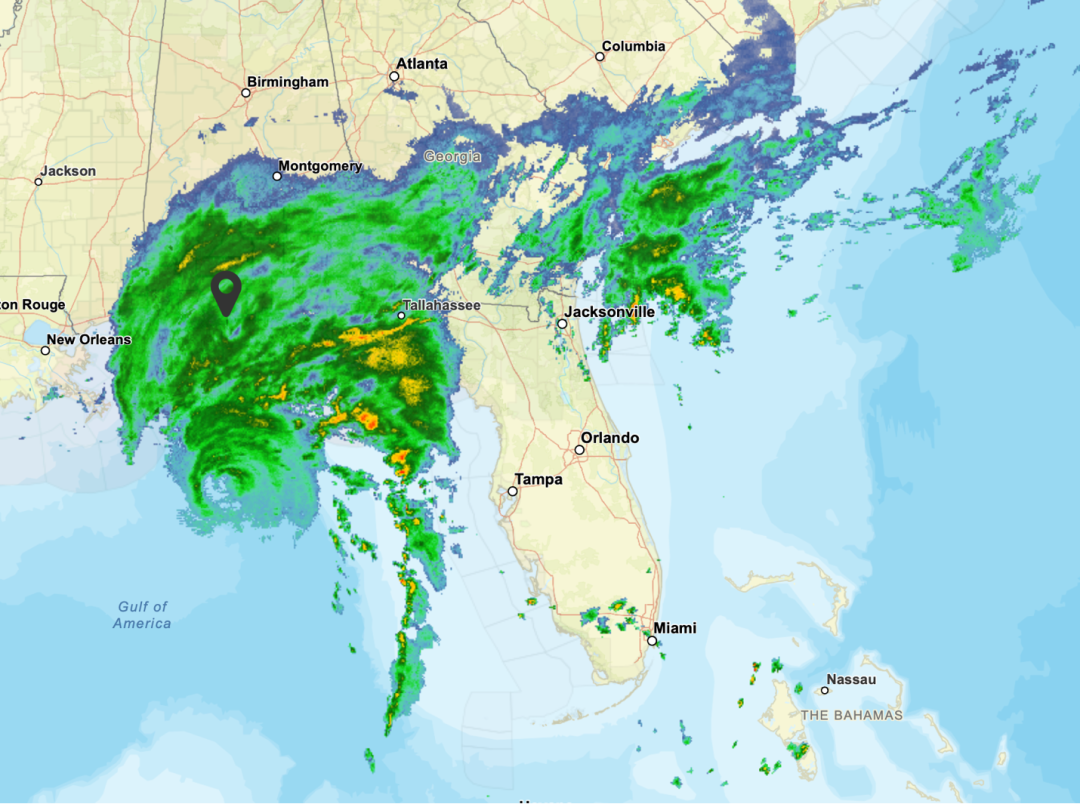
Image: National Weather Service
This radar image from the Mobile, Alabama, National Weather Service radar shows the eye of the storm west of Tampa and due south of Mobile. The long line of showers and thunderstorms will be our next effect.
When Isaias comes ashore, it will be the 11th major hurricane to strike the Gulf Coast in the past 10 years. Stop and think about that. Eleven majors in 10 years: Harvey, Irma, Michael, Laura, Zeta, Ida, Ian, Idalia, Helene, Milton and now Isaias. That has never happened since hurricane records began.
And here is the part that should get everyone's attention. This is happening in an El Niño year, in a climate-warmed world, in a season our own Climate Adaptation Center forecast called for a below normal season. While that is true, we now have had nine storms, one hurricane and one major hurricane. The old rules about what a season should look like simply do not apply anymore.
For the Suncoast, Isaias is mostly a rain story, but what a rain story. Sarasota has had about seven inches of rain in the past several days, all of it from the larger weather system that spun up this storm, which is the first hurricane and the first major hurricane of the 2026 season—and the fourth Gulf storm this year.
The satellite and radar show the storm's long tail streaming our way, and that tail will hang over the Suncoast bringing scattered but locally intense showers and thunderstorms through Sunday.
I would not be surprised to see another inch or two, which would put a serious dent in our drought. If this feels familiar, it should. Heavy fall rains are exactly what strong El Niños deliver to Florida, and they play a big role in ending our droughts. The Excessive Rainfall Outlook from NOAA tells the story.
Bob Bunting is the founder and CEO of the Sarasota-based Climate Adaptation Center and has been monitoring hurricanes and climate patterns, including as a weather scientist and lead forecaster for NOAA, for 50 years. The Climate Adaptation Center's sixth annual Florida Climate Conference takes place on Nov. 12. For more information, click here.