


A New Local Mapping Project Aims to Protect Mangroves
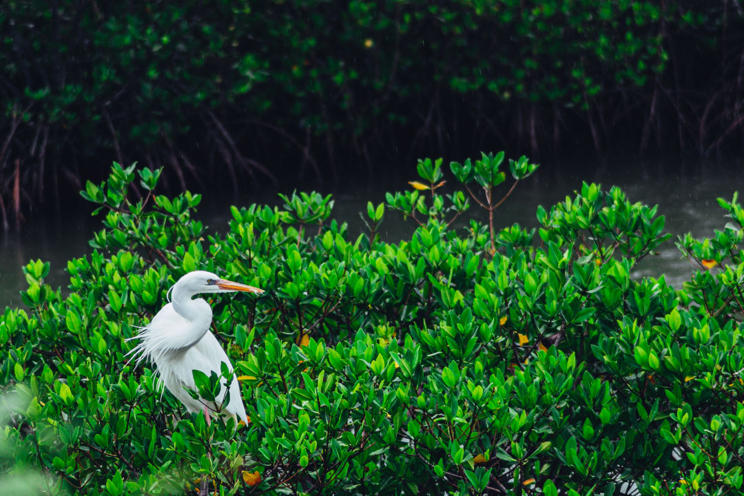
A great heron perches among the mangroves.
Image: RandomHartz/Shutterstock.com
As we know from living on the Suncoast, mangroves are all around us. They grow along almost every coastline, provide habitat for fish and other wildlife, protect our homes from destructive storms and erosion, maintain clean water, and combat climate change, thanks to their carbon-storing abilities.
Still, even with their immense beauty and vital importance to our community, mangroves are threatened in our area. To stand up for the trees, Suncoast Waterkeeper has teamed up with Exspanse Artificial Intelligence, Dimensional Geomatics and New College of Florida on a mangrove mapping project, which will track mangrove growth and conditions along northern Sarasota Bay, Palma Sola Bay, southern Tampa Bay, Terra Ceia Bay and the Manatee River.
“There has been a long history of mangrove trimming violations in our area,” explains Dr. Abbey Tyrna, an educator, scientist and the executive director of Suncoast Waterkeeper. “The Mangrove Trimming and Violations Act of 1996 lays out how you can manage mangroves in a sustainable, healthy way, and those laws have been repeatedly broken.
"This problem comes along with the fact that we do not have an inventory for mangroves in Manatee County," she continues. "So as we continue to see losses, we don’t know what that means for the big picture. The mangrove mapping project will help us communicate to regulators how these violations are impacting the entire system.”
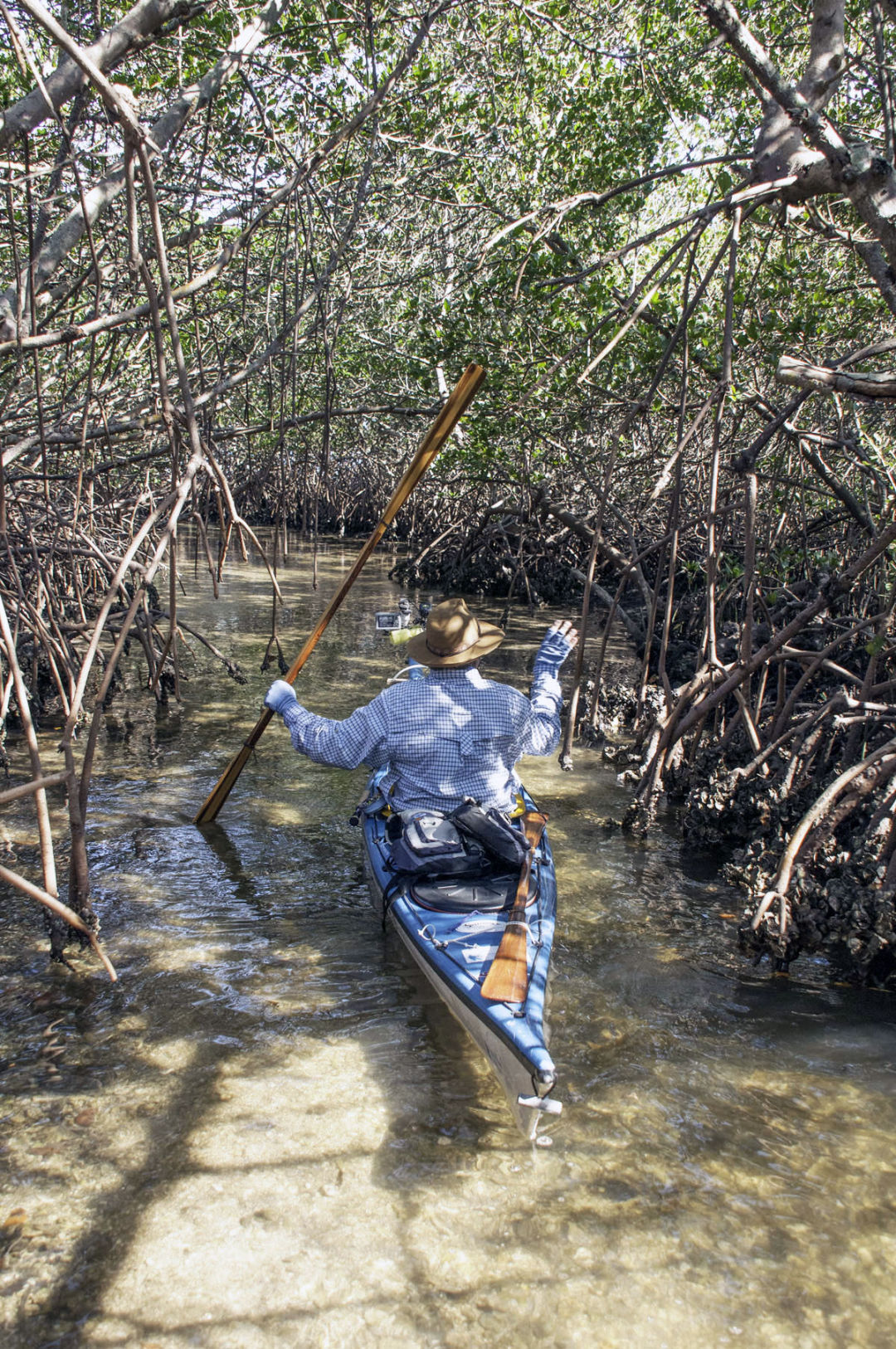
Kayaking through Moses Hole
Training for the project starts this month, when Suncoast Waterkeeper and New College data science graduate students will learn how to operate drones, utilizing photogrammetry to measure and map the local mangroves. (Photogrammetry is the act of deriving precise measurements from photographs.)
The training, led by Dimensional Geomatics, will provide a standard operating procedure for community and student-based mapping using drone imagery. Exspanse, based out of Longboat Key, will then provide its modeling platform to New College data science students for the hands-on experience of building, training and deploying models using data from the project. Those models will portray the extent and density of the surveyed mangroves. Looking at the density of the trees over time will provide insight into the overall health of mangroves in the area.
Once training is complete, the project will move from a small-scale pilot project to a large-scale community and student-led annual mapping program that will help Suncoast Waterkeeper continue to understand the health of our local mangroves.
“Our mission is clean water for all and mangroves do a really good job of cleaning up the water because they lock in sediments, which allows seagrass to flourish,” says Tyrna. “We’ve seen a serious amount seagrass decline in our area and we don’t want that. That is an indicator of poor water quality and [is causing manatees to starve]. It's also reducing our quality of life and our economy.”
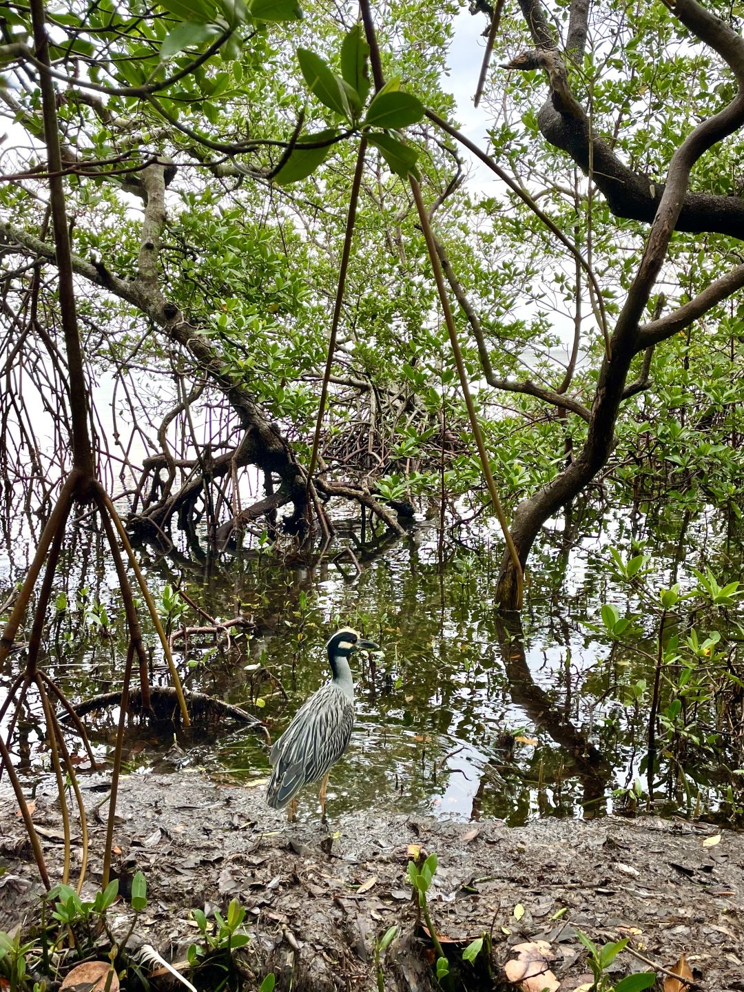
A bird pauses among the mangroves.
Image: Emma Moneuse
Tyrna says the health of our mangroves equates to the health of the Florida economy. “For every hectare of mangroves, there is about half a ton of fish,” she explains. “Fishing makes up about 11 percent of revenue in the state budget, and what drives fisheries is mangrove habitats. That is just one reason why people should care about this project.”
There are myriad other reasons why this project is important, but a key factor is that mangroves add to coastal resilience.
"Whether you are protecting your life or your home, mangroves can make a huge difference during storm surges,” Tyrna says. According to The Nature Conservancy, mangroves prevented $1.5 billion in storm damages and protected more than 626,000 Floridians during Hurricane Irma.
The mangrove mapping project comes at a time when protecting wetlands is paramount, as Manatee County is currently considering removing policies from its Comprehensive Plan and sections of the Land Development Code, which will allow for destruction of local wetlands and wetland buffer areas. Suncoast Waterkeeper has put together a petition which will be sent to the Manatee Board of County Comissioners. The hope is that public knowledge about the project will bring a drive for the community to preserve and enhance the condition of local wetlands, because once they're gone, they're gone for good.


