


Keep Your Eyes on the Tropics: Invest 97L Could Become Tropical Storm Debby This Weekend
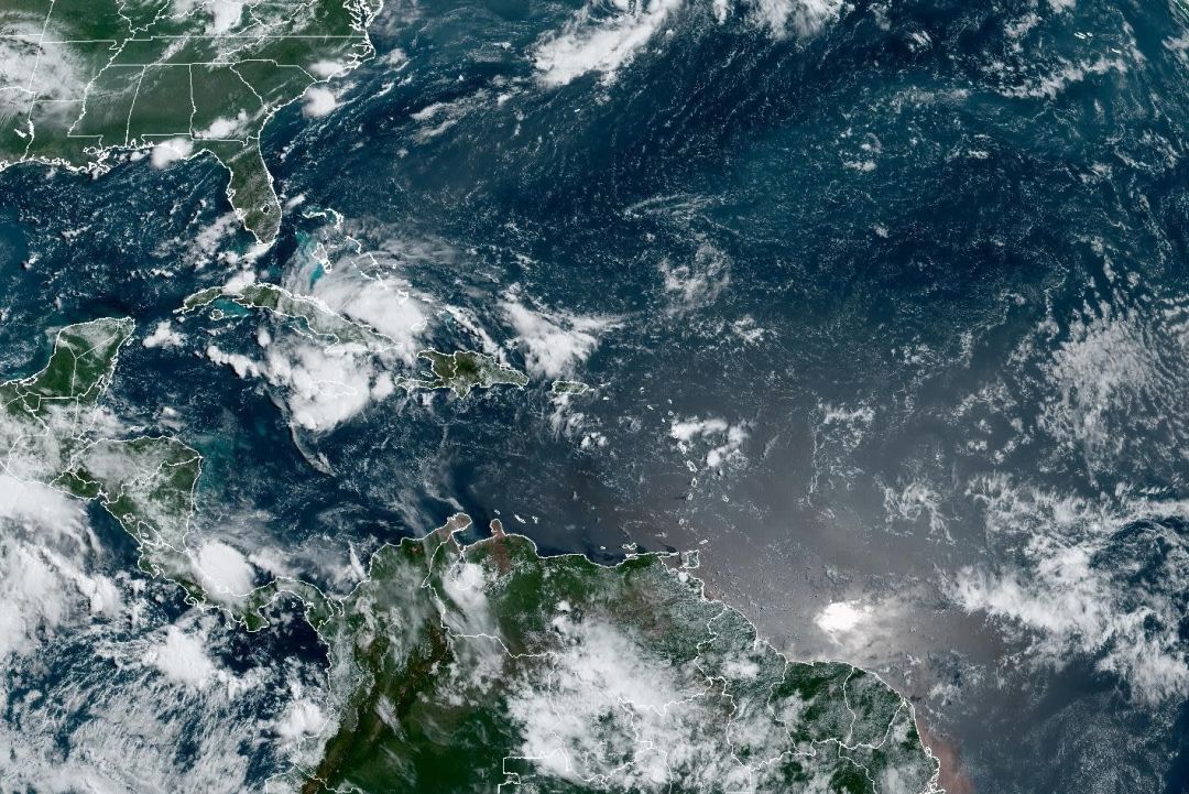
Image: NOAA
No doubt you've been following the tropical wave that came off Africa several days ago. Hindered by thick Saharan dust blowing out of Africa over the main development region for Atlantic hurricanes, the wave has been on a slow roll across the Atlantic.
Now, as the wave heads toward Cuba, then Florida and the Gulf of Mexico, the Saharan dust has all but dispersed and conditions are becoming quite favorable for tropical storm development as the wave moves along Cuba’s north coast and into the Florida Straits by Saturday.
The interaction with Cuba will likely limit rapid development, but should the storm's center form over water, then travel into the Florida Straits and southeast Gulf of Mexico, there's a good chance we'll be talking about Tropical Storm Debby by sometime on Saturday.
Steering currents suggest the storm could move up the west coast of Florida just
offshore late Saturday and early Sunday. Because there will be little wind shear and sea surface temperatures are very warm, there is potential for this storm to intensify as it moves northward especially from Venice northward.
However, before the wave forms a definite center, it's almost impossible to home in on an accurate path. The red arrows show the general path I predict. If a center develops by Friday evening, better details will be possible.

Image: Climate Adaptation Center
One other note: the red oval is where I expect the center of the system will be late
Sunday. There are indications the atmospheric steering currents will weaken and the system could stall. If it does so over water instead of over land, that would give it time to gain strength and potentially meander near or on the coast. That would not be a great scenario; however, Cuba could save the day by limiting the storm's chances to grow until it makes the turn into the Gulf.
Still, models have under-predicted rapid intensification in two similar storms recently: Hurricane Otis in the eastern Pacific last fall and Hurricane Beryl in June. Because of that low wind shear and the excessively high sea surface temperatures, we need to pay attention.

Image: Courtesy Photo
To underscore this caution, the image above shows 32 degrees Celsius (89.6 degrees Fahrenheit) water along the Southwest Florida coastline. That's exactly what the sea temperatures were when a weak Tropical Storm Otis became a mega-hurricane in just one day’s time before creating a catastrophe in Acapulco, Mexico, last fall.
No matter what, look for 3 to 5 inches of rain along the west coast of Florida as the storm passes by. Only a few months ago a severe drought was in full swing. That ended with that unnamed storm on June 11, right here in Sarasota, which broke rainfall records.
Finally, remember that flooding is becoming a common theme in storms that are near the coast, but not necessarily even hurricanes. Idalia was 150 miles away when it created a 3- to 5-foot storm surge from Venice to Tampa, gale force winds in our area.
Then another storm—not even a tropical storm—produced significant flooding on the barrier islands in December. Coastal saltwater flooding and inland freshwater flooding is a threat. And for reference, Sunday’s high tide is at 12:30 p.m., and high tides are already quite high this time of the year, even without a storm nearby.
Bob Bunting is a scientist, entrepreneur and educator, and the CEO of the nation’s first Climate Adaptation Center (CAC), headquartered in Sarasota. The Climate Adaptation Center is an expert resource to inform government, academe, the private sector and philanthropy so they can create the necessary adaptation strategies and actions to protect the Florida way of life and foster the climate economy while larger global solutions evolve to solve the climate problem. Contact Bob at [email protected] for more information.


