Hurricane Elsa Passed With Minor Impacts to Sarasota-Manatee
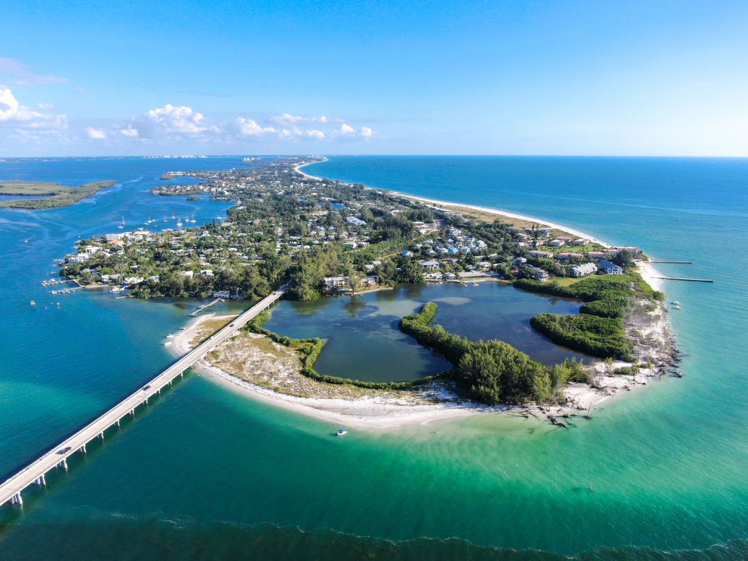
Longboat Key
Image: bonandbon/Shutterstock.com
Hurricane Elsa briefly intensified near Fort Myers yesterday and headed north along the coast, passing the Sarasota metro area around midnight on July 6.
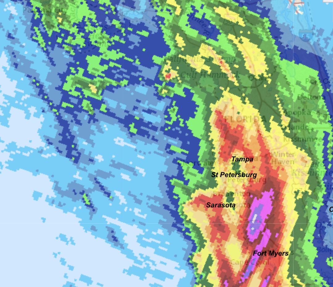
Image: Courtesy Photo
The radar image, taken at 5:22 p.m., shows the eye of Elsa as it regained hurricane status last evening.
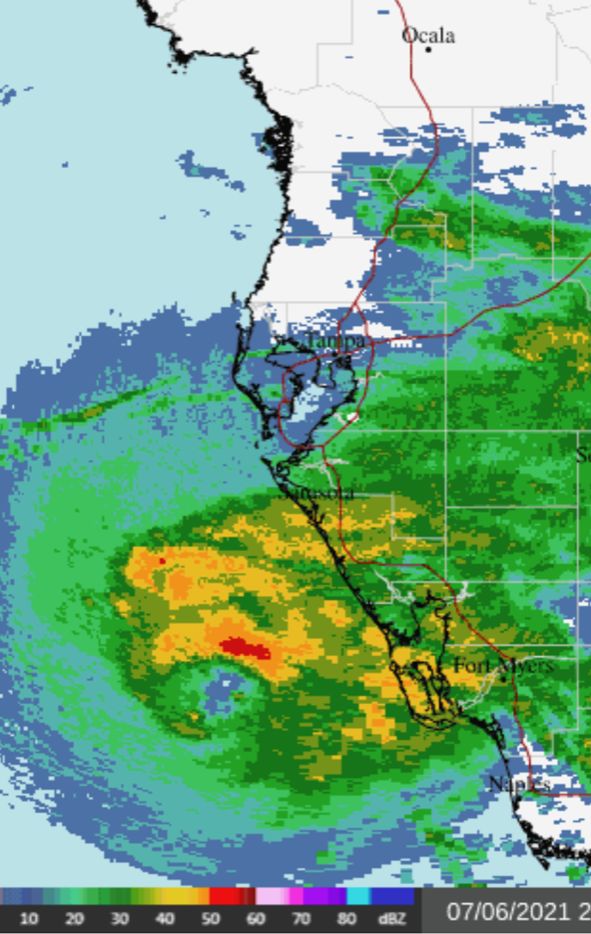
Image: Courtesy Photo
The second radar image at 11:22 p.m. shows a broad eye that was falling apart as it went by our area.
Elsa was downgraded to a tropical storm early this morning; it continues up the west coast and will eventually cross northern Florida and head up the east coast to Canada as a tropical storm
Sarasota recorded winds gusts to 54 mph, and a buoy just off Longboat Key had 60 mph wind gusts as the center passed late last night. This was pretty much as expected.
Rainfall ranged from light to heavy. The second radar image, above, shows the storm's rainfall pattern. Our area received about 2 inches, somewhat less than expected. But to the west and southwest of Sarasota, very heavy rainfall associated with a burst of thunderstorms as Elsa intensified near Fort Myers, drenched portions of Florida with up to 10 inches of rain. The image shows those areas in purple to white.
Thankfully, there was no storm surge due to the rapid deterioration of the storm's eye as it moved over our area.
Now we wait to see how much of the rainfall runs off and brings nutrients to the significant amount of red tide now present along the west coast of Florida from Naples to Tampa. Within two weeks, that bloom could erupt into a major red tide as the algae feasts on its fertilizer.
Atmospheric scientist Bob Bunting is CEO of Sarasota's Climate Adaptation Center.