Keep Your Eye on the Tropics Right Now
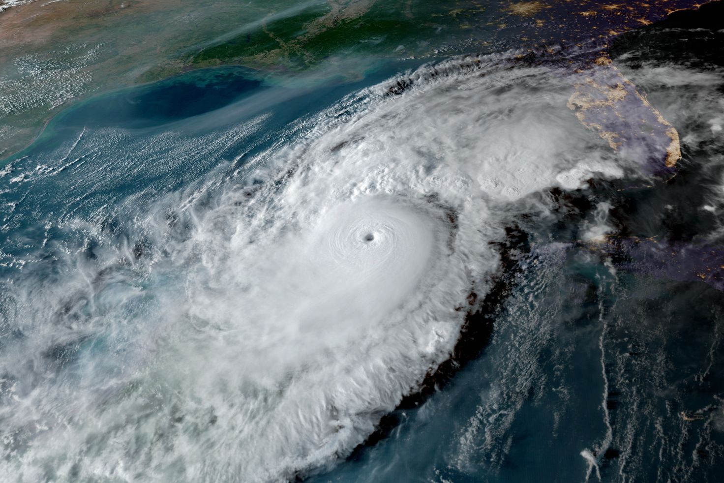
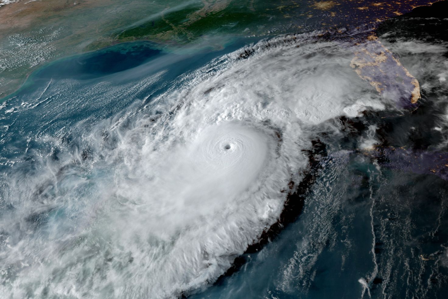
Hurricane Fiona moving over Puerto Rico
Image: NASA
About four days ago, I forecast a major hurricane in the Gulf—close enough to Sarasota to be of concern from mid- to late next week.
A lot of factors are slowly coming together that could make this a storm to remember, but it's still really early to say what could happen.
For background: after weeks of winds blowing Saharan dust into the Atlantic—thereby inhibiting storm formation—the dust has been clearing. Now, as I expected, conditions are going to be near-perfect for a very active September though November in what's become an unusual hurricane season.
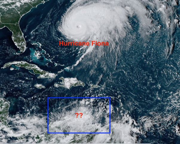
So far in September we've had four named storms; there are currently three other disturbances that bear watching. The most concerning is off the north coast of South America, just north of Venezuela. All three disturbances have potential to develop into something bigger, which means the name of the storm we could face could be Hermine, Ian or Julia.
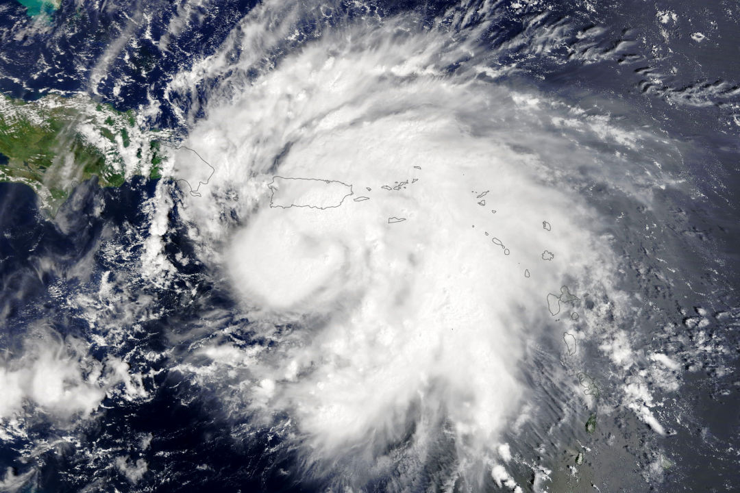
A look at the tropics as of Sept. 22, 2022.
Image: Courtesy Photo
Because sea surface temperatures are high and wind shear is low, there's lots of potential for these tropical disturbances to spin up once they move into the Caribbean, starting at about Saturday. There, the mass of showers will be moving over very warm water with no wind shear to speak of. A storm could very well become a tropical depression, then strengthen into a hurricane as it nears the south coast of Cuba.
Until a storm's center forms, it will be difficult to access the threat to Florida. That said, if a storm does form, it will approach the southern Gulf by early next week, where it could become an issue for us.
For now, my advice is for everyone to be prepared should the storm develop and make its way to our area—or close to it. Here are my tips:
- Consider if you are in a low lying area and could face high tides and storm surge
- Don’t wait to figure out where you will go if you need to evacuate
- Remember that sea levels are already 9 inches higher than they were 50 or so years ago so minor storms have bigger flooding impacts
- Escape routes can be very vulnerable because roads in may areas have not been raised
- Stock up on water, batteries and essentials now, while you have time
- Remember power can be off from days to weeks in some areas depending on the severity of winds. You may have to consider this in your planning.
- Watch what is going on in the tropics
Bob Bunting is a scientist, entrepreneur and educator and the CEO of the nation’s first Climate Adaptation Center (CAC), headquartered in Sarasota. The Climate Adaptation Center is an expert resource to inform government, academe and the private sector so they can create the necessary adaptation strategies and actions to protect the Florida way of life and foster the climate economy as well as larger global solutions evolve to solve the climate problem. For more information, visit theclimateadaptationcenter.org.