Keep Your Eyes on the Tropics, Just in Case

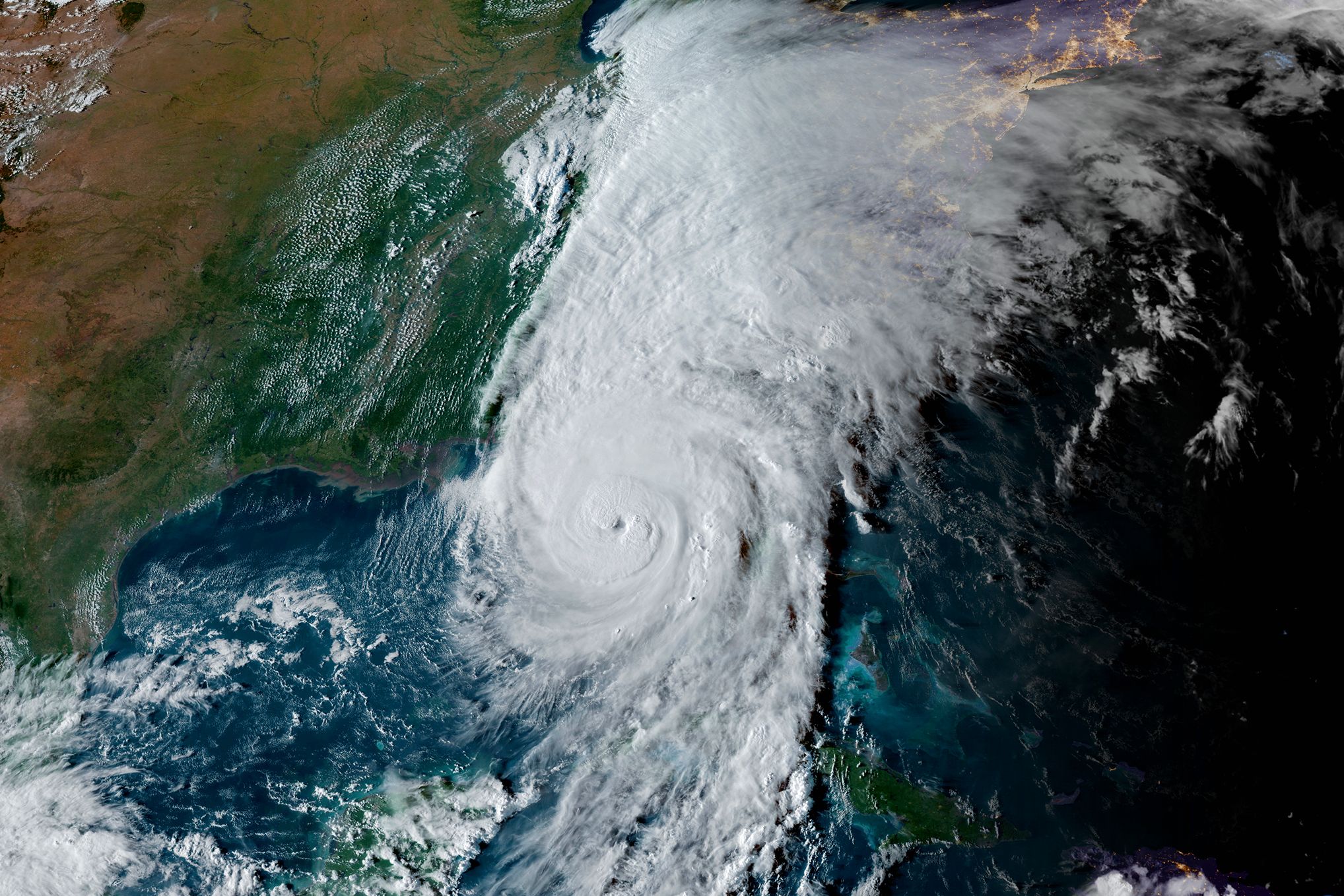
Image: NOAA
The 2025 Atlantic hurricane season has been mercifully quiet this year, especially after last year's back-to-back storms. But the season's not over yet, and October is peak time for storms to form in the Caribbean and make their way into the Gulf.
Bob Bunting, a longtime meteorologist and founder and CEO of Sarasota's Climate Adaptation Center, says that he's keeping a close watch on Tropical Storm Melissa, which is currently churning in the Caribbean.
"There is a very strong seasonal tendency for hurricanes to form in the Caribbean this late in the season," Bunting says. "When they do, they often come into the Gulf—and, of course, once they're in the Gulf, there's no way for them to get out without hitting something."
Bunting is quick to add that it's too early to predict the storm's exact track, especially because of its weak steering currents (winds that guide the storm's path). But because of where it is—and the fact that water temperatures in the Caribbean are in the lower- to mid-80 degrees—he expects Melissa to become a major hurricane (category 3, 4 or 5) and make landfall in Cuba next week. Where it will go next is still unclear.
As far as impacts to the Suncoast, Bunting says he doesn't want anyone to panic, especially after last year. But if Melissa does become a category 4 or 5 storm, he says, "it will have a northern trajectory at some point. I'd also say that there's a fair amount of probability that [the storm] is going to move father west than models have been forecasting."
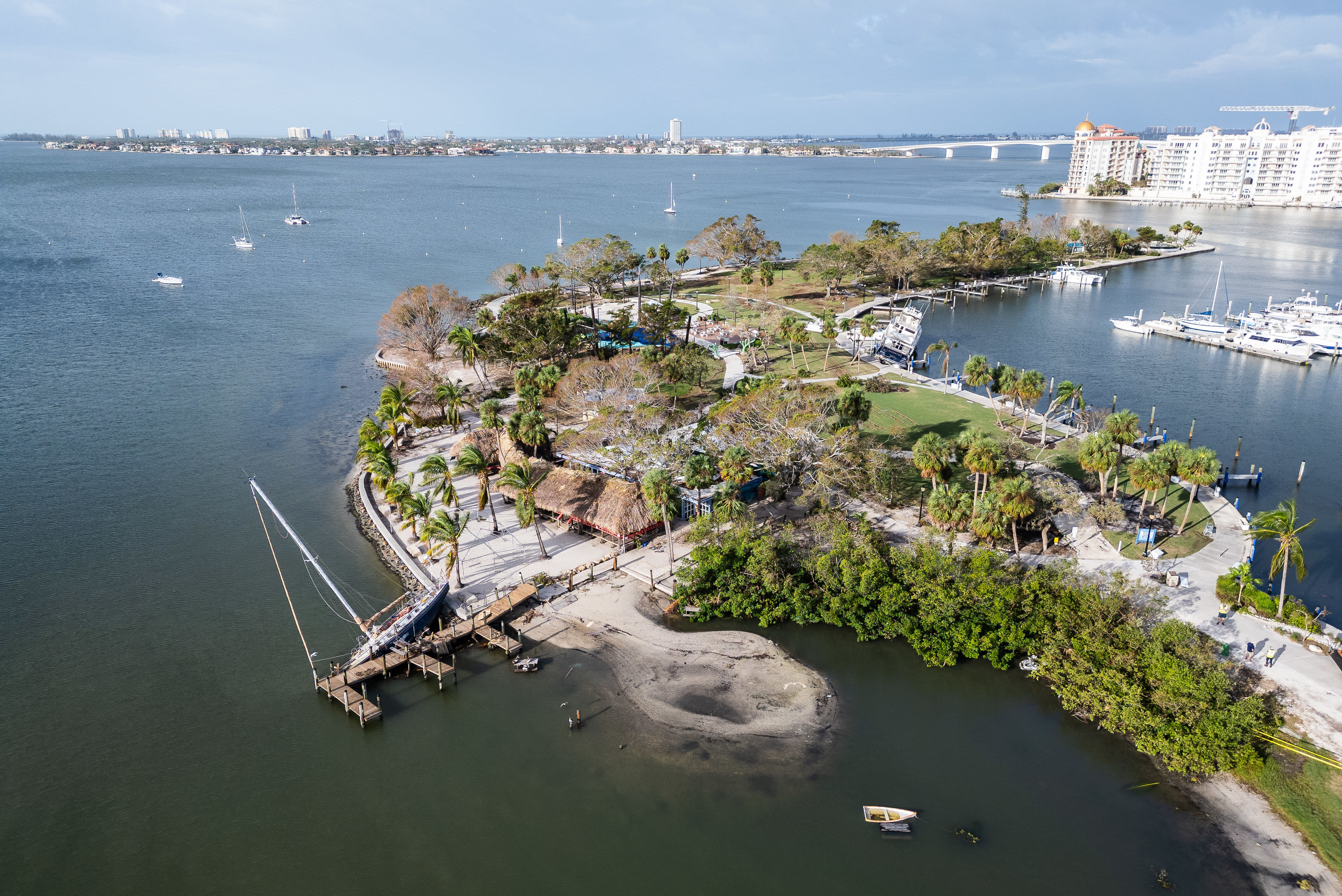
And as Hurricane Helene proved last year, a storm doesn't have directly hit our area to have major impacts. "Our highest tides of the year are in October, we've had significant sea level rise in the 21st century, and there are more ways for a storm to have an impact today than there ever have been," Bunting says, "plus more people living in threat areas [like barrier islands and coastal regions] than ever before."
That's why it's important to stay prepared. Keep your emergency supply kit packed and ready, know your evacuation levels and flood zone, create an exit plan and stay tuned to local governments so you're up-to-date on storm developments.
"I think that if [we avoid this storm], we can celebrate," Bunting says. "But for the next week or so, we're going to have to stay focused and keep our eyes and ears open. It only takes one."
The Climate Adaptation Center's 2025 fifth annual Florida Climate Forecast Conference takes place Thursday, Nov. 15, at the University of South Florida Sarasota-Manatee. The theme is "climate and biodiversity." For more information and to purchase tickets, click here.