Climate Adaptation Center Predicts 17 Named Storms, 10 Hurricanes and Five Major Hurricanes for 2025

Image: NOAA
With hurricane season set to begin on June 1, experts warn that this year is shaping up to be another active year for storms, with Florida remaining high risk.
The Climate Adaptation Center (CAC) today issued its 2025 storm predictions, and we'll get right to the point: The organization is predicting 17 named storms this season—continuing an upward trend in hurricane activity over the past decade—as well as 10 hurricanes and five major hurricanes (category 3 or above).

Image: Courtesy Photo
At its annual hurricane forecast this morning, CAC CEO and longtime meteorologist Bob Bunting said that while it’s still early in the year, and conditions could change, “we do know the recipe and all the ingredients" that are required for storms to form. Part of that, he said, is sea surface temperatures. In the last year, ocean temperatures around the world—not just in the Atlantic and Gulf of Mexico—hit record highs "not seen in the history of human beings." Those temperatures provide energy for hurricanes to form and intensify.
Bunting joked that he wished his predictions could be an April Fool's prank. Unfortunately, over the past two hurricane seasons, the center's forecasts have closely aligned with actual storm activity. In 2023, the center accurately predicted the number of hurricanes (seven) and major hurricanes (three). In 2024, it slightly overestimated the total number of storms—forecasting 12 hurricanes and six major storms—but the season ultimately saw 11 hurricanes and five major storms. Across both years, the center’s predictions were off by just one hurricane and one major hurricane.

Image: Courtesy Photo
Recent analysis shows the average number of named storms per year has increased from 14—the National Hurricane Center’s new baseline—to 18 in just the past decade. The CAC's 2025 projection of 17 named storms aligns with this trend.
Historical data from 2015 to 2024 indicates that both the frequency and intensity of storms have risen, too; a shift that scientists link to climate change and warming oceans.
The Gulf of Mexico, in particular, is seeing unusually warm waters extending deep below the surface, a phenomenon that fuels rapid intensification—that is, when a storm strengthens dramatically in a short time, as Hurricane Milton did last year.
Other contributing factors to an active hurricane season include a persistently warm phase of the Atlantic Multi-Decadal Oscillation (AMO), lower-than-average wind shear and reduced Saharan dust. These conditions create a favorable environment for storm formation and intensification, particularly in the Gulf of Mexico and the Caribbean. Scientists also point to rising greenhouse gas emissions and long-term climate trends as contributors to the increasing frequency and strength of hurricanes.
Models highlight July and October as the months with the highest hurricane risk in 2025 overall. While our region's peak storm season is typically September and October, Bunting said July hurricanes are especially concerning because they coincide with peak summer heat—which, he noted, is already the deadliest weather-related threat in the U.S. He urged preparedness to mitigate the effects of electricity and air-conditioning going out for days on end. Citing Florida's location in a high-risk zone and the overall rise in the formation of major storms, Bunting emphasized the importance of planning in advance—especially since the storms' increasing frequency means there's less time to recover between hurricane seasons.
But he also told the crowd not to panic. “The climate is going to get warmer for the rest of our lives," he said. "That doesn’t mean we have to flee, but it means we must stay purposefully and [use] intelligence.”
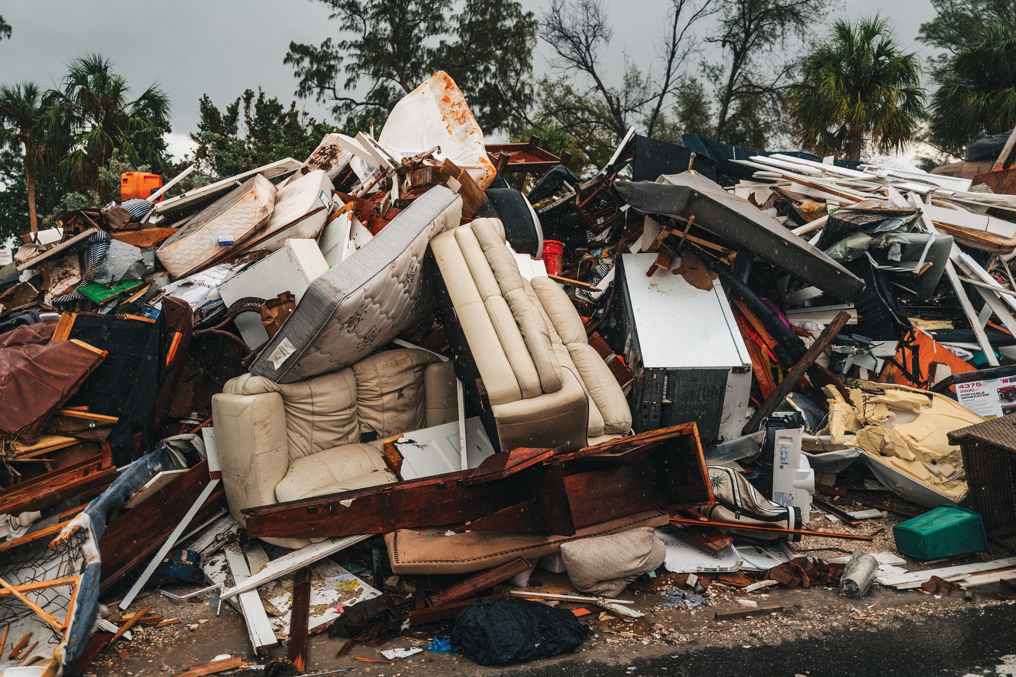
Summer storms have been increasing in strength and number for the last decade, and the Suncoast has dealt with devastating effects as a result. The 2022 season brought catastrophic damage from Hurricane Ian; the 2023 season was the fourth most active in history; and last year’s impacts from hurricanes Debby, Helene and Milton are still taking a toll on the greater Sarasota-Manatee area.
Be Prepared: What to Do Ahead of Hurricane Season
-
Check your homeowner’s insurance coverage.
- Take photos of valuables and property for claims.
-
Be sure all your important documents are easily accessible, so you can take them with you in case of evacuation.
- Stock at least seven days' worth of food and water.
-
Don’t stay in low-lying areas—those at or near sea level—if a storm is coming. Even minor storms are creating much greater flood impact now because of sea level rise. (Remember Helene?)
- Identify windowless, interior safe rooms in your home.
-
Make a plan for where you’ll go if you do have to evacuate
-
Prior to a storm, figure out where you’ll park your car to keep it safe from flood damage.
- Stock flashlights, batteries, portable phone chargers and a battery-powered radio.
-
Sign up for Alert Sarasota County and Alert Manatee for emergency updates such as evacuation notices, boil water advisories, weather warnings, and hazardous traffic or road conditions.
For more information about the Climate Adaptation Center’s 2025 hurricane forecast, click here.


