The Vail Valley’s Most Inspirational Summer Cycling
Magic happens astride a bike. With no windshield insulating you from the sensory rush of surrounding scenery, you don't just see the landscape, you absorb it: your skin soaks in the fresh air, your ears record songbirds and babbling creeks, and your nose inhales the heady perfume of pine on the wind. Cycling also teaches you about topography, as your legs register the mountains’ scale in ways your eyes alone can’t appreciate. And then there’s the incomparable feeling of freedom you get while pedaling, as you explore the world like a wide-eyed child who’s just shed her training wheels. Few places reward such exploration like the Vail Valley, where an extensive network of bike-friendly roads, trails, and rec paths lets pedalers of all persuasions roam near and far both on and off pavement. From daylong epics to mellow sunset rambles, there's a wild ride out there, waiting for you.
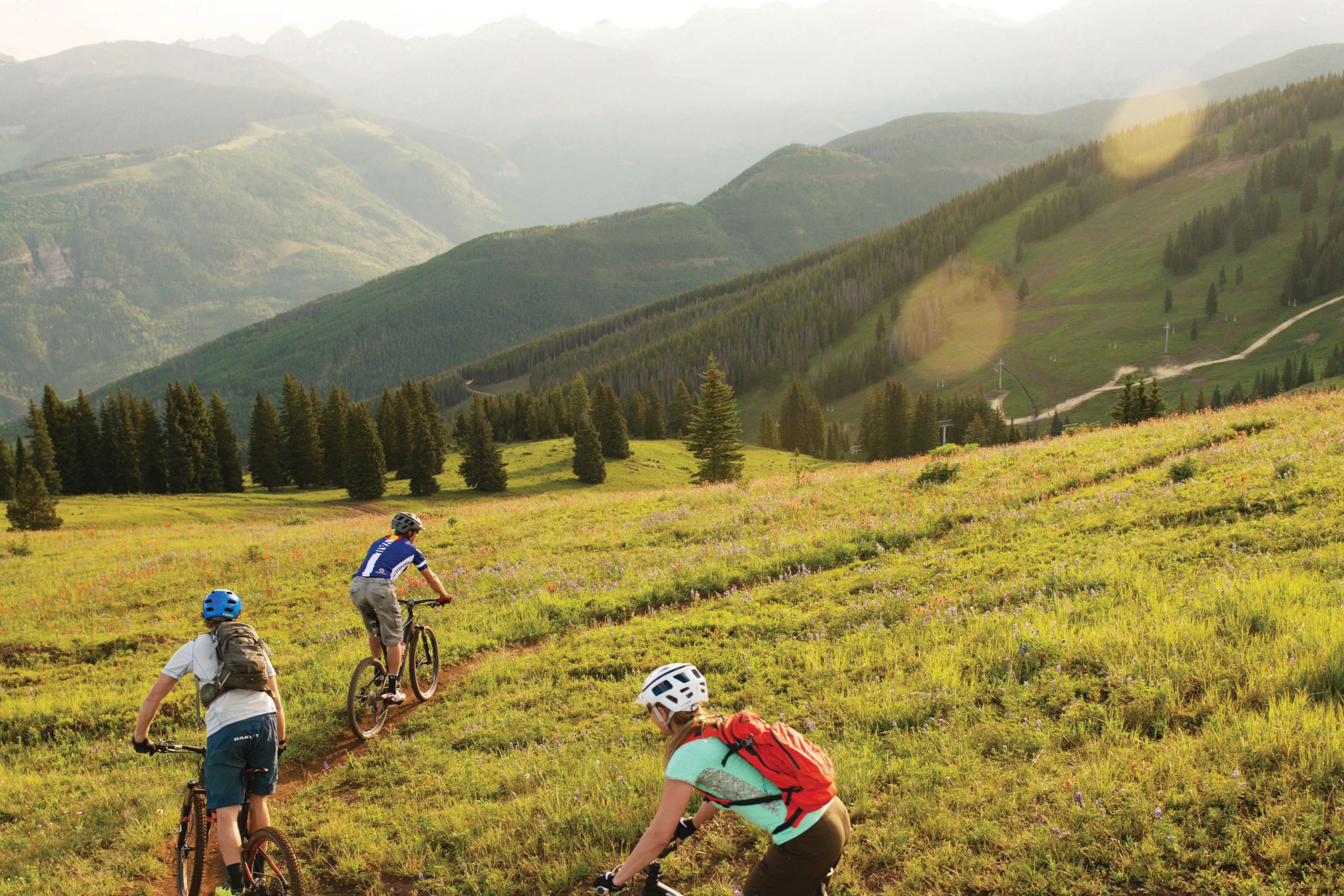
GRAND TRAVERSE
Vail's signature trail, this 5.3-mile stretch of singletrack traverses three of the Back Bowls (Sun Up, Sun Down, and Game Creek), which are just as stunning in summer as in winter. Wildflowers bedeck the high-alpine expanses, peak-filled panoramas unfold in every direction, and the riding is mellow: the smooth, low-tech trail follows a forgiving uphill course. Riding the Eagle Bahn Gondola (open daily 9:30 a.m.–5 p.m. June 7– Sept 2; $42/adult, $27/kids) gets you as far as Adventure Ridge, where the trail (and two-wheeled adventure) begins. From there, it’s a gradual ascent across Game Creek Bowl, with 14,011-foot Mount of the Holy Cross dominating the view. Once the trail gains the ridgetop, vistas extend over the vast Back Bowls (where the trail heads, too), contouring across grassy mountainsides studded with cheery asters and yarrow flowers. With few obstacles requiring attentive bike maneuvers, you’re free to ogle (or yodel) to your heart’s content. The trail ends at the top of chairlifts 4, 5, and 11; from there, reverse course for more Sound of Music–style splendor, or take the new Mid Vail Escape trail down to Lucy’s Loop and back to Lionshead.
Image: Zach Mahone
BIG MAMBA AND RADIO FLAYER
Nearly all Vail Valley rides start with a requisite lung-busting ascent, but the beauty of Vail Mountain (vistas aside) is the Eagle Bahn Gondola and its new sibling, Gondola One, which offer an effortless cheat into the high country. Bike haul passes get you all-you-can-ride access to trails that let you succumb to gravity’s pull: from Eagle’s Nest, your starting point at 10,249 feet, you need only coast downhill on Big Mamba, which serpentines for three miles though open ski runs blanketed with electric wildflowers. It’s one Rocky Mountain high that begs another, so on your next uphaul make Radio Flyer your hit. Curving through forests of lodgepole pines and ferns, this buffed, 2-mile-long flow trail features fun rollers and forgiving whoop-de hills that let beginners gain confidence with pump features. Ready to fly? This is a great place to let your wheels launch off the ground—if just for a split-second that feels like an eternity.
Image: Jack Affleck and Vail Resorts
BENCHMARK/TWO ELK
Staggering views, big hammer-fests, exhilarating descents, and technical features—this 20-miler has it all. The route front-loads the scenery, so that the bulk of your climbing takes place among motivating panoramas over the Vail Valley. Starting from Vail Village, the two-track Mill Creek Road climbs 3,250 feet over 10 miles to Benchmark, the highest point on Vail Mountain at 11,816 feet. From that grandstand overlooking the Back Bowls and the Sawatch Range, descend about a half-mile to Two Elk Connector, cruising across Mongolia Bowl for 1.7 buttery miles to Two Elk Pass. Follow Two Elk Trail west to commence the tech-heavy portion of the ride: you dive to the bottom of Mongolia Bowl to hug sparkling, snowmelt-charged Two Elk Creek on its course below the rest of the Back Bowls (to the north) and Battle Mountain and Blue Sky Basin (to the south). The technical fun continues during the rock-studded, five-mile downhill to the Eagle River, where you merge onto Hwy 24 and follow it north (downhill!) for 2 miles into Minturn.
LOST LAKE LOOP
Technical terrain along this 12-mile loop keeps riders from gazing too long at the scenery, so plan a few “snack” breaks to appreciate the mélange of pointy peaks, azure lakes, and groves of aspens and lodgepoles. Skirting the Eagles Nest Wilderness, this circuit feels like deep backcountry. Pedal up the rocky, rutted Lost Lake Road #786, staying left at each fork to arrive at the Lost Lake Trail at 4.3 miles. Cruise through a mix of forest and meadow to the overlook above Lost Lake. Many a selfie has been snapped here, where a downed tree provides a perch allowing riders to frame themselves in front of Lost Lake and its surrounding summits. Test your bike-handling mettle on the rocky, roller-coastering stretch of trail paralleling the lake. (Few riders can say they’ve cleaned it entirely.) Then crank along an aspen-covered ridgeline, turn left onto Red Sandstone Road #700 (8 miles in), and follow it back to your car.
Image: Zach Mahone
EAGLE RANCH
Fluid and buffed, the Eagle Ranch trail network strokes riders’ egos with forgiving climbs, manageable mileages, and pavement-smooth dirt that’s free of intimidating rocks and roots. This is where local cycling coaches bring learners and kids, but the circuits also appeal to experienced riders who like to carve swooping turns through open sagebrush. It’s one instance where “easy” doesn’t mean “boring,” especially given the wide-angle views of dusky mountains rising up from beyond the grasslands. The shortest of the three loops is the 4-mile medley of Riddle, Mayer Gulch, and Wall Trails. For a longer ride, follow Riddle Trail to Second Gulch, then hang a right onto Bailey Trail and return via Turniphead to form a 5-mile loop. Just don’t be discouraged by the initial climb from the trailhead: it’s a tougher grind than anything you’ll encounter later on.
WEST AVON PRESERVE
This 478-acre parcel fronting the interstate could’ve become yet another thicket of vacation homes, but instead Avon taxpayers voted to turn it into open space. Eagle County and the Town of Avon kicked in to hire Momentum Trail Concepts (which designed Eagle’s lauded singletrack), and last summer ribbons were cut on an 11-mile network emphasizing feel-good intermediate routes. For a 6-mile ramble that punctuates rhythmic ridgeline riding with occasional rock gardens and switchbacks, ride the Avon Singletree Connector east and hang a right on Saddleridge, which gains 797 feet over 2 miles. Unfettered views across sagebrush hills to Beaver Creek’s ski runs and the New York Range beyond take your mind off the climb. Then cruise down (and back up) PB&J for a 2-mile add-on before plunging down Lee’s Way, a dedicated black-diamond downhill trail peppered with big, banked turns.

Image: Zach Mahone
VAIL PASS
Even if you're not a cyclist, you’ve no doubt heard of, or have driven over, Vail Pass. So famous is this climb that nationwide, gyms’ elliptical machines have a preprogrammed “Vail Pass” workout that recreates the long, steepening effort up and over the paved cycling path that snakes alongside the interstate. The toughest portion registers a 30 percent grade, but 8 percent is more typical along the 14.5-mile route, with a lung-busting elevation gain of nearly 2,500 feet from Vail Village to the pass summit. To add this feather to your cap, start at the big Vail Village parking structure and roll east on the frontage road for 6.7 miles, passing a gate at the Gore Creek campground in East Vail barring auto traffic from the rest of the route. The segment beyond the gate has served as a time trial for racers in the USA Pro Challenge, and some locals enjoy pitting their times against the pros’. The paved bike lane continues to a lung-draining 10,603 feet, at the Summit Rest Area. Your reward? The gleefully fast, swoopy ride back down.
THE LEADVILLE LOOP
Four mountain passes, 6,000 feet of climbing, and views worthy of the Rand McNally atlas cover—that’s what makes this 78-mile loop a locals’ favorite. Most die-hard Vail Valley roadies notch this icon at least once a summer, and some do it as spring training for even bigger races later in the season. Starting in Vail, cruise west down the Gore Creek Valley Trail to Dowd Junction, then head south on Hwy 24, which begins with a few miles of easy spinning through the town of Minturn before climbing Battle Mountain. Fall brings eye-popping displays of amber leaves, stopping at the pullouts affords views of waterfalls cascading into the valley, and the Gilman ghost town begs a few minutes of off-bike at-a-distance ogling (but not exploration: it’s a Superfund site). Cross the arched Red Cliff Bridge between plunging rock walls lining the Eagle River, pass Camp Hale (where 10th Mountain
Division ski soldiers trained), and crest Battle Mountain Pass (9,267 feet) and Tennessee Pass (10,424 feet). At Leadville, head north on Hwy 91 to Fremont Pass (11,340 feet) before hurtling down past mountain-ringed lakes to Copper. Take the bike path up Vail Pass (10,554 feet) before zipping back down to Vail.
DAYBREAK RIDGE
Like virtually all routes out of the Vail Valley, this 12-mile loop involves a stout climb—in this case an 1,800-vertical-foot purgatory over 6.5 miles that humbled cyclists in the 2013 USA Pro Challenge. But from the circuit’s heavenly high point, where you overlook the soaring peaks of the Sawatch Range, you’ll hardly begrudge the effort. And because the ride takes place within gated neighborhoods, you’re more likely to spot deer than cars. Start in Avon and crank up Village Road, passing through the gated entrance to Beaver Creek Resort. The fluttering flags of various nations that raced in the 1999 and 2015 FIS Alpine World Ski Championships line the first hill and provide a welcome distraction from the effort. At 1 mile, turn right onto North Holden Road and admire the eerily dark multimillion-dollar vacation homes lining the road. Continue onto Borders Road then onto Strawberry Park Road and ride past the gate that bars auto traffic from the Strawberry Park development. Just after you pass beneath the Elkhorn ski lift, pick up Daybreak Ridge Road to top out at a high point affording views down into both Beaver Creek and Bachelor Gulch. At sunset, the steely peaks soften in a wash of rosy, golden light. Follow Daybreak Ridge Road as it serpentines down through Bachelor Gulch (another gated community where traffic is limited to a handful of shuttle buses), then cruise back into Avon via Hwy 6.
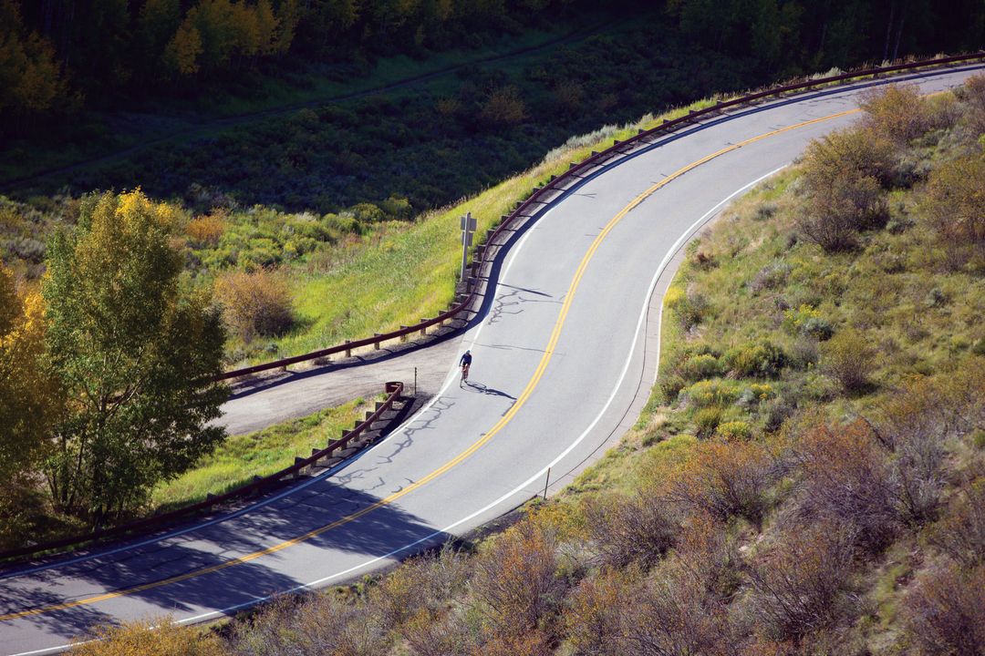
Image: Zach Mahone
AVON TO WOLCOTT
The shimmering Eagle River and red,
sagebrush-dotted hills surround riders on the 11-mile stretch of Hwy 6 connecting Avon and Wolcott. The relatively flat grade minimizes aerobic effort, and recent streetscape improvements have made the segment smoother (and safer) than ever. New two-foot-wide shoulders give bikes a much-needed buffer from passing cars, and fresh pavement creates a buttery ride.
MOUNTAIN STAR/WILDRIDGE
You don’t have to be in the one percent to enjoy the views of Mountain Star, a gated community north of Avon. All you need is legs and lungs strong enough to crank out the 4.7-mile, 1,800-foot climb that reaches a maximum grade of 26.5 percent.
From Avon, follow Nottingham Road to Buck Creek Road, where, just past Walking Mountains Science Center, your ascent begins. Climb the quiet, staggeringly steep switchbacks to the road’s pinnacle where you can take in the panoramic views of Beaver Creek and the craggy ridgeline of New York Mountain beyond. At the gates blocking access to Mountain Star, an exclusve enclave with stratospheric home prices (at press time, the three properties for sale here ranged from $7.1 million to $11.5 million), turn left onto West Wildwood Road, and enjoy a two-mile mostly downhill coast to Metcalf Road, where your next climb begins. Turn right. Just after the switchback over the road’s namesake creek, it becomes West Wildridge Road. After a two-mile uphill grind through the Wildridge community, the pavement tops out and becomes East Wildwood Road as it loops downhill for 2.3 miles to its intersection with West Wildridge Road. Turn left, then plunge around the switchback and back onto Metcalf Road, which reconnects with Nottingham Road. At the stop sign, turn left, and follow Nottingham Road past Buck Creek Road, and park your ride at Northside Kitchen (thenorthsidekitchen.com) where a bearclaw or two awaits—you’ve earned it!
COLORADO RIVER ROAD
Prefer a pleasure cruise to a big slice of humble pie? This is your tour. Starting from the Dotsero exit (#133) on I-70, Colorado River Road rolls gently over sagebrush hills and rocky canyons that deliver IMAX-scale scenery for a modicum of effort. The steepest climbs come near the start, when your legs are fresh, and you can vary the length to suit: it’s 35 miles if you follow River Road all the way to Hwy 131, but any turnaround point will do, because there’s little along this road but big, Wild West panoramas along the wide Colorado River. The road surface is uncivilized too, since pavement gives way to dirt about 8 miles from the interstate—but it’s hard-packed and fast.
Image: Zach Mahone
TAKE A CRUISE
No need to hit max aerobic capacity to pick the Vail Valley’s plums: plenty of flat, friendly cruiser routes let adults and kids zip through town and country. Try the Eagle Valley Trail linking Avon and Edwards. The 6-mile route transits the Eagle River, passes ball fields, and crosses grassy meadows framed by green mountainsides.
The Quad
Local Celebrities

Person of Interest
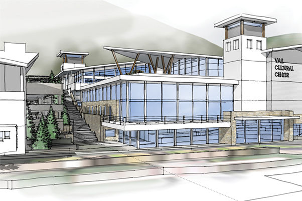
Building Community with Federico Peña
Vibe
Jewel Box
Vibe
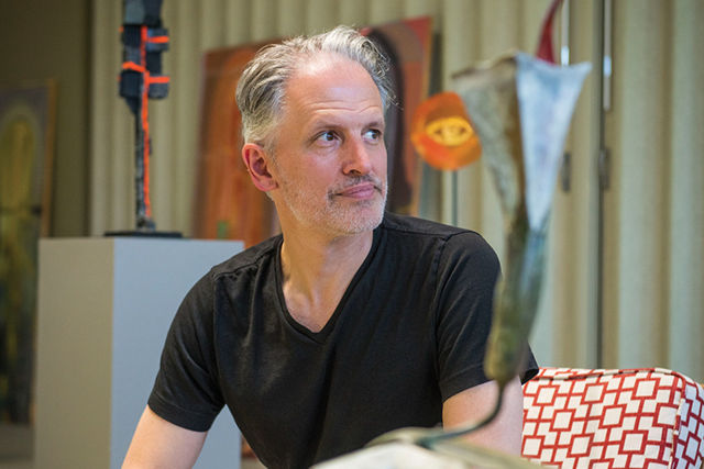
Carving a Niche
Village Talk
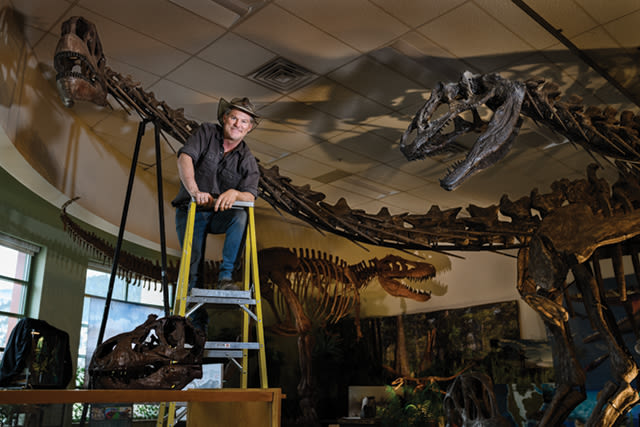
Dino Mighty
Village Talk
Capitol Idea
Village Talk
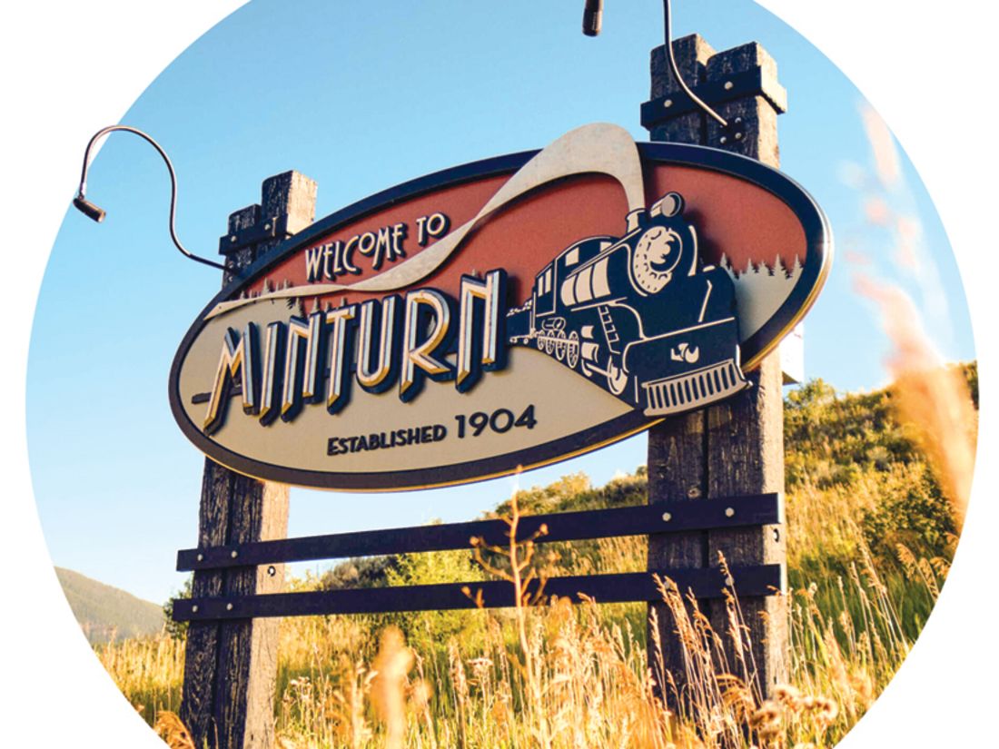
Should I Try The Minturn Mile?
The Explainer
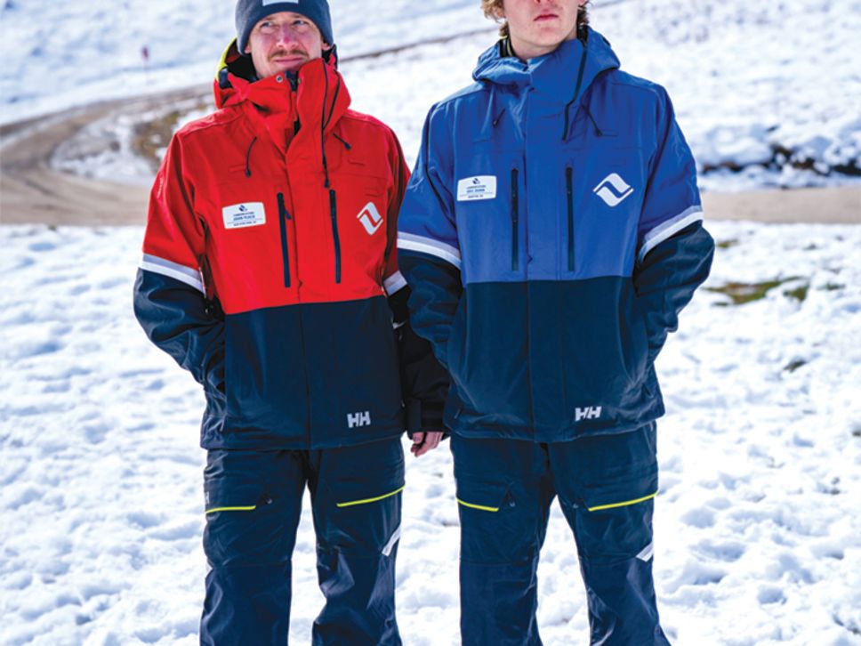
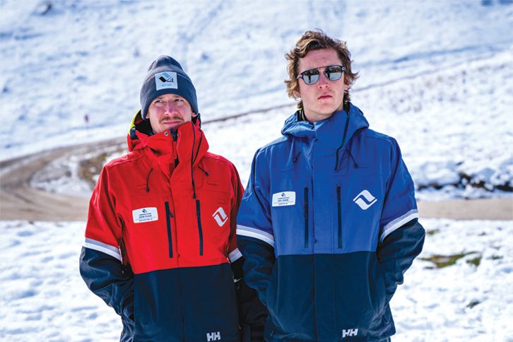
Decoding Vail Resorts’ New Uniforms
The Explainer
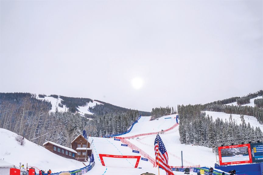
What to Expect at the 2024 Ski World Cup
The Explainer
Which Base Is Best at Vail and Beaver Creek?
The Explainer
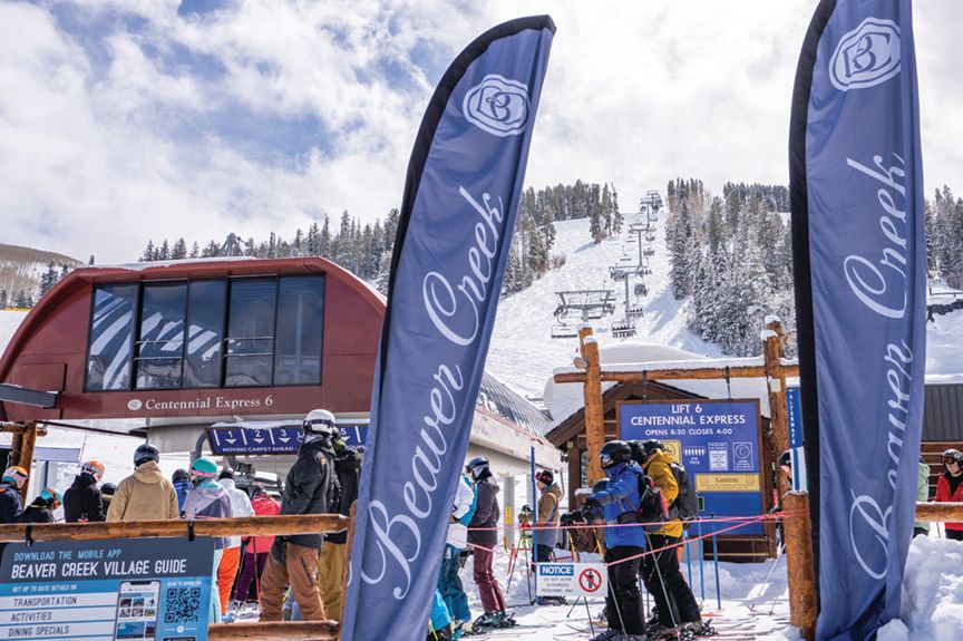
Where to Ski in Beaver Creek
The Explainer
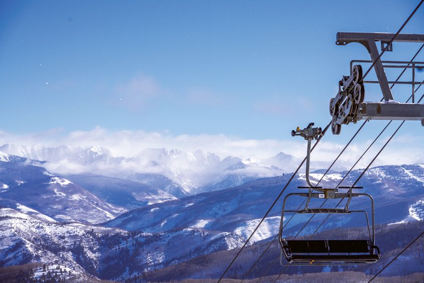
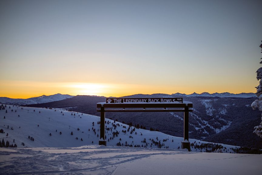
Skiing and Riding Vail's Back Bowls

Restaurant Listings
Vail Dining Guide
The Explainer
A Guide to Beaver Creek's Dining Cabins
The Explainer
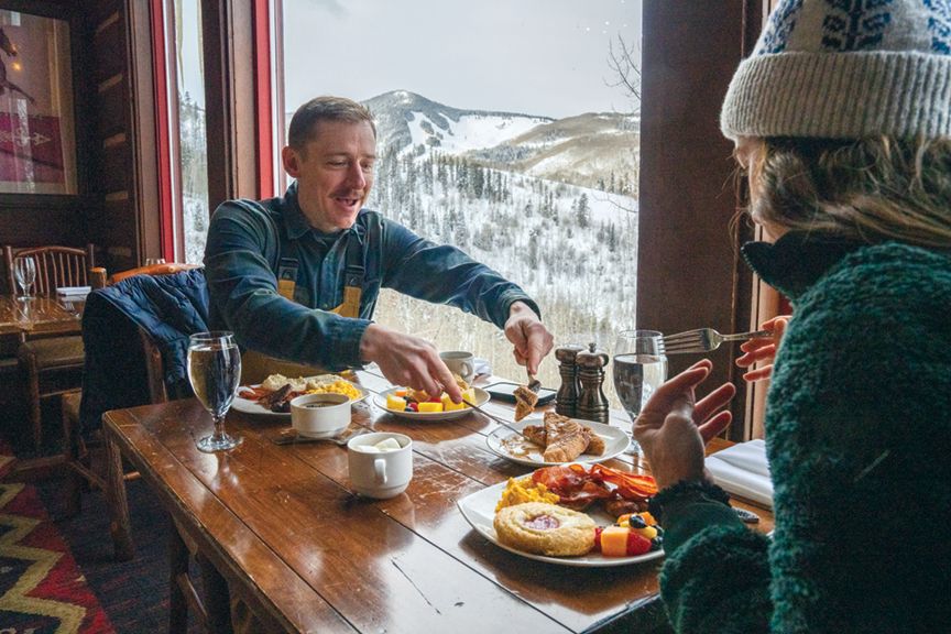
Eat Like a Vail Valley Local


Village Talk
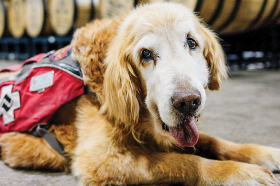
Bourbon Made for a Good Cause

Pilot Project
Discovering Airport Art
Village Talk
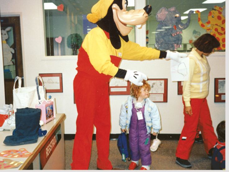
The Magic Kingdom of Vail?
Vibe
Jewel Box
Vibe
Carving a Niche
Events
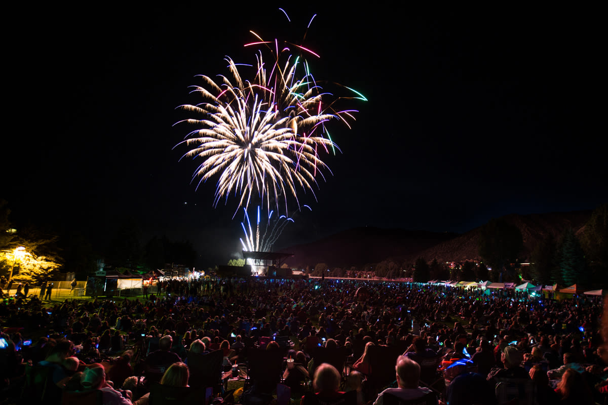
Summertime Top 5 Events
Village Talk
Capitol Idea
Village Talk
A Permanent Fix for Altitude Sickness

Village Talk
Hangover Helper
Village Talk
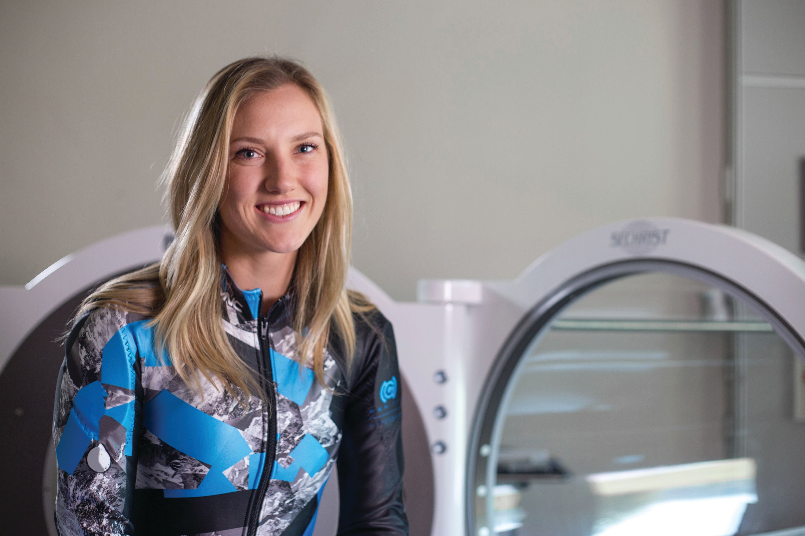
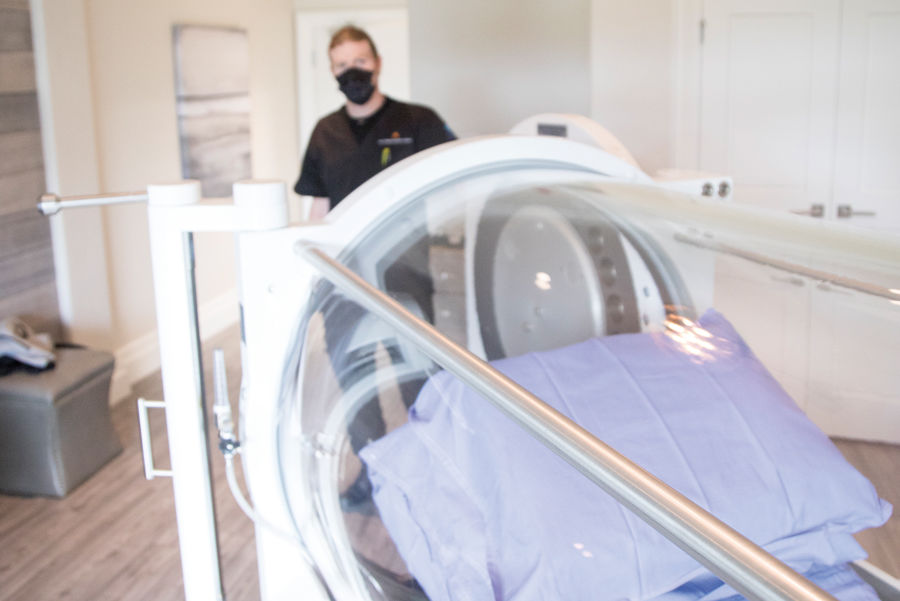
Hyperbaric Oxygen Therapy Helps Olympian Recover
Village Talk
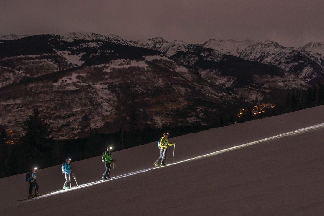
A First-timer's Guide to Uphill Adventuring

Shelter
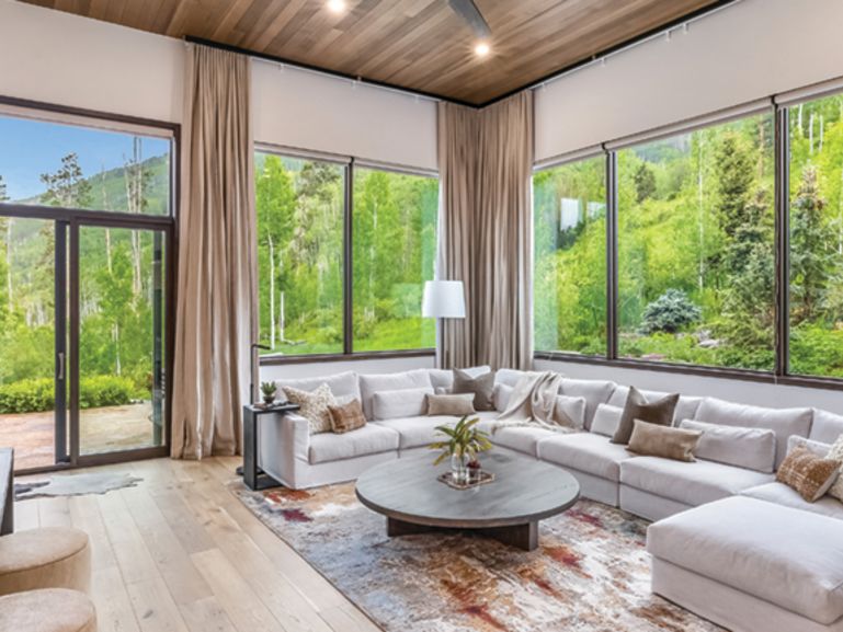
Sanctuary Space
Village Talk
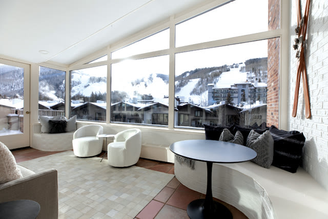
Penthouse Demand

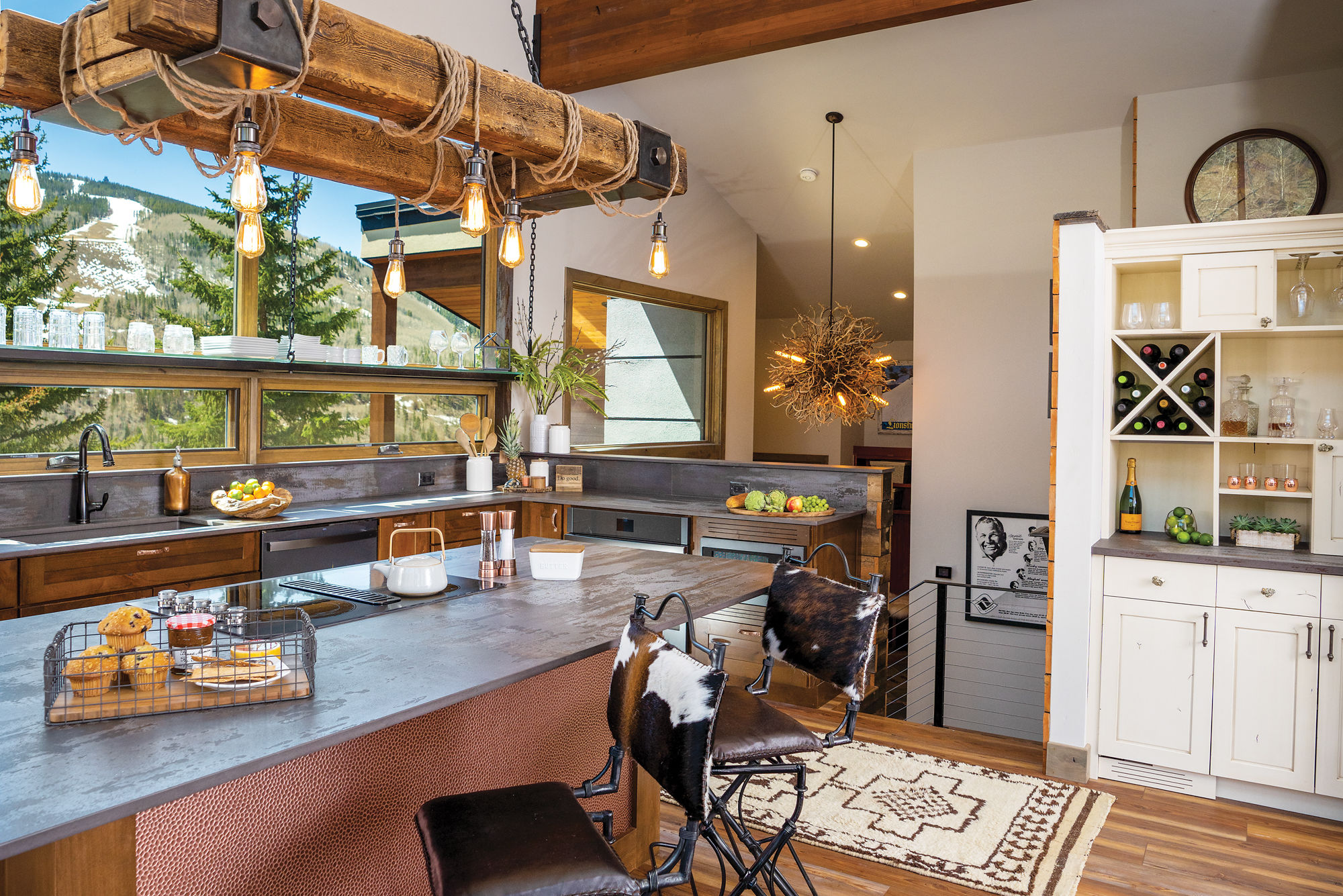
Shelter
To-Dive-for Decor
Feature
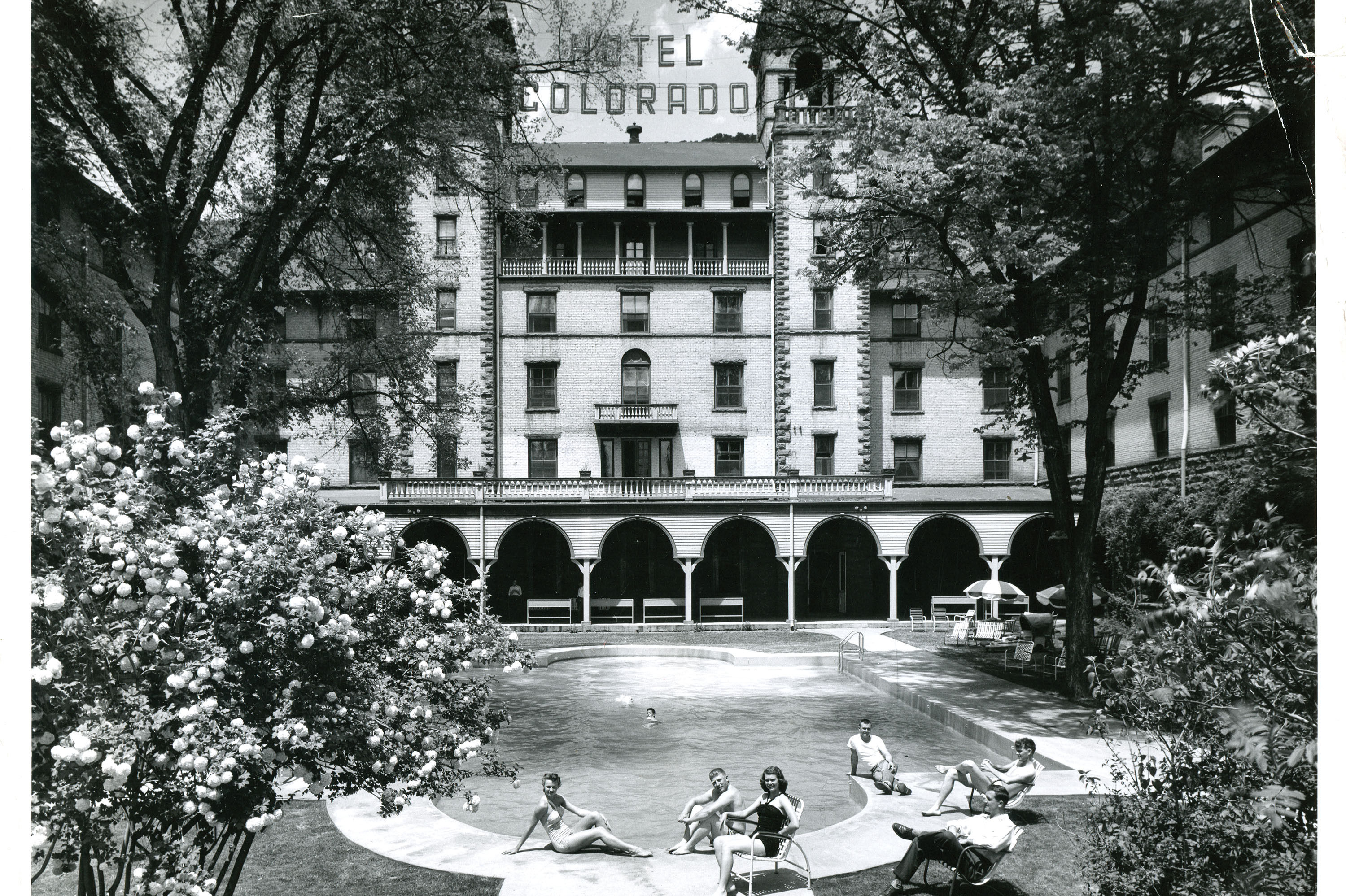
Glenwood Glory

Fashion
Refined Dining

The Explainer
Decoding Vail Resorts’ New Uniforms
Style Counsel
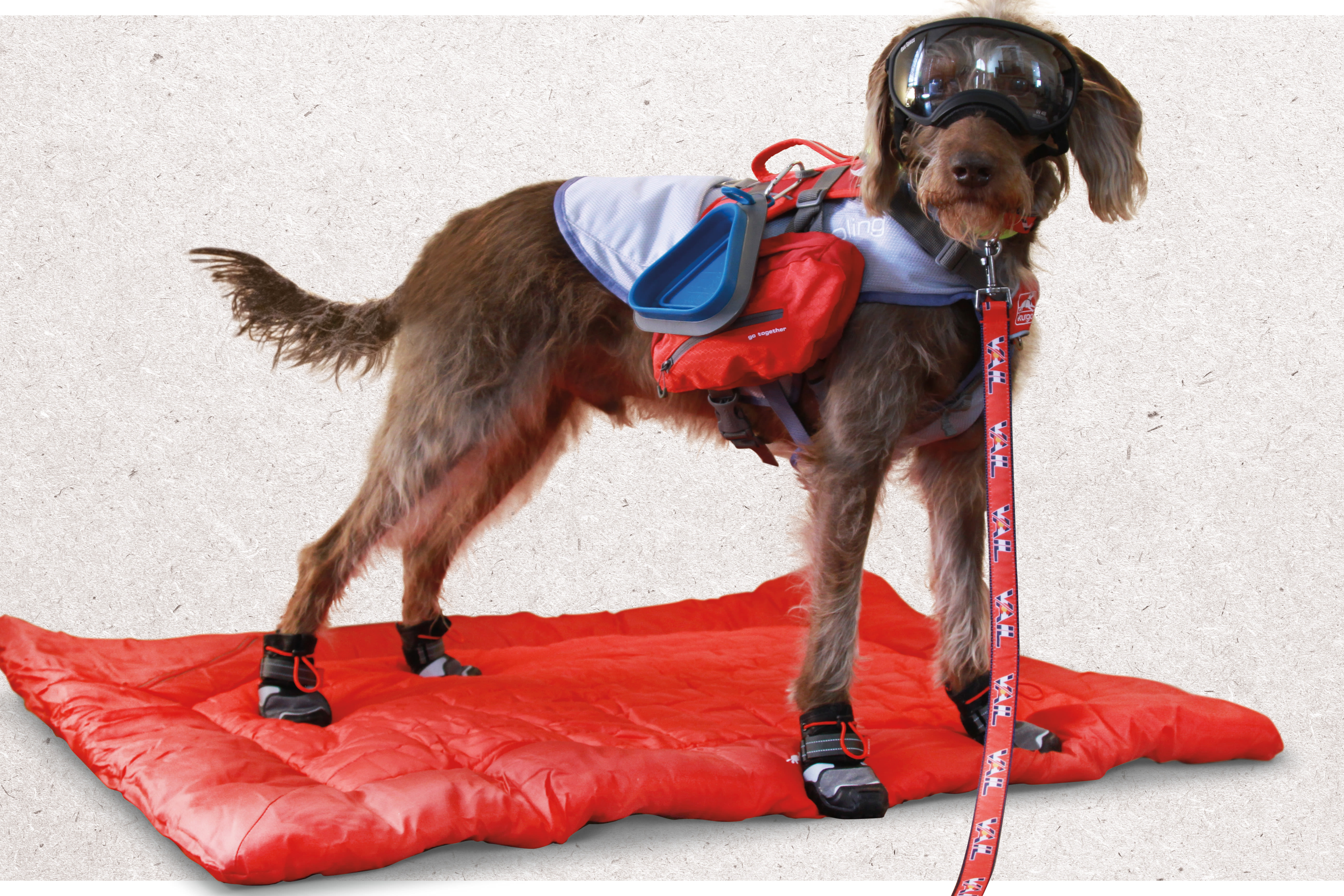
Summer Gear for Vail Trails
Style Counsel
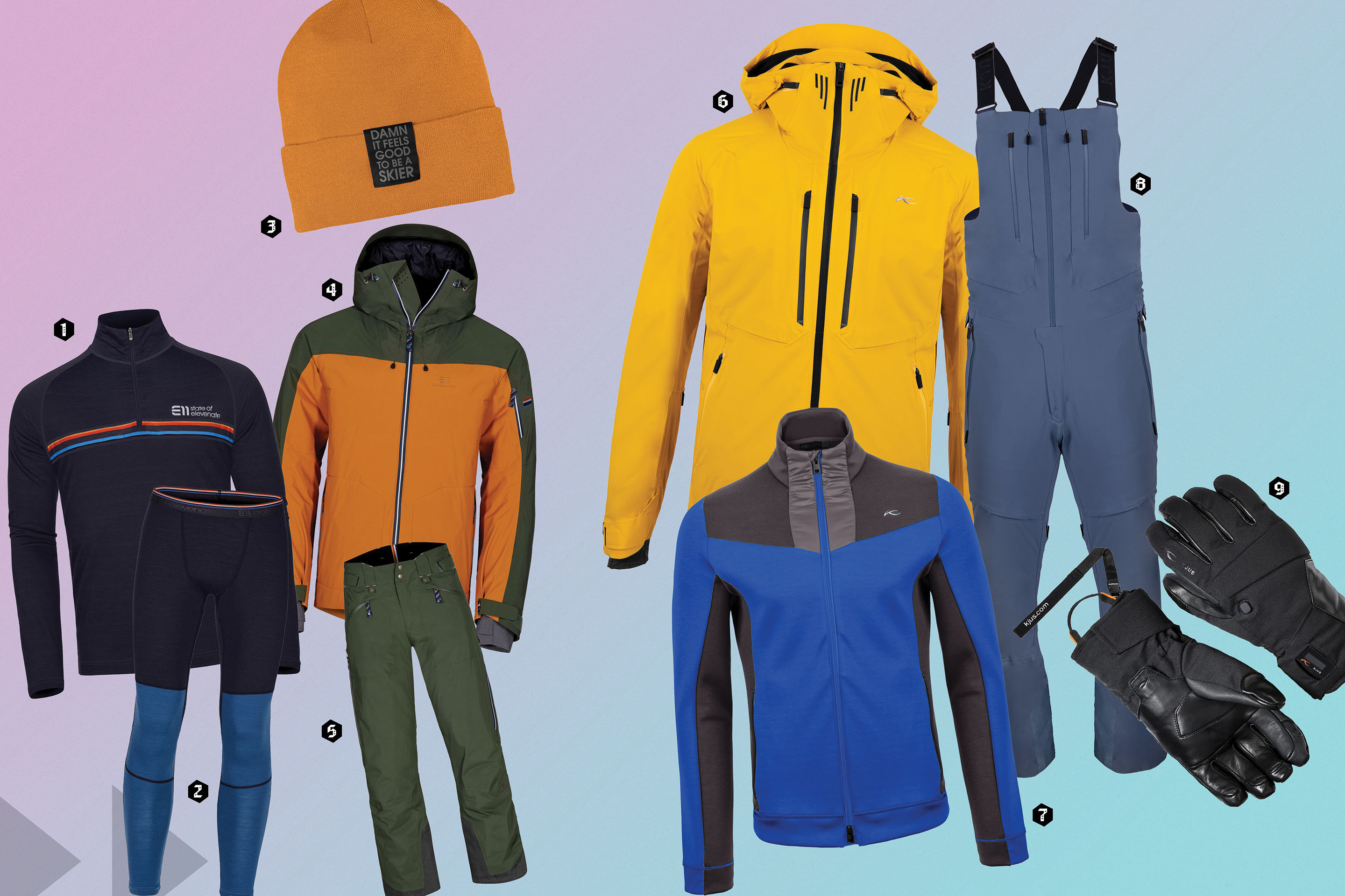
A Curated Guide to Layering

Winter Fashion