Artist and Cartographer Robert Szucs Will Speak at This Year's PINC Experience
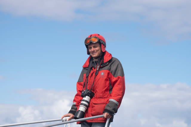
Robert Szucs.
Image: Courtesy Photo
Hungarian cartographer Robert Szucs is mapping out his own path. Under the name Grasshopper Geography, using satellite data, Szucs depicts the world's rivers and watersheds with bright, neon colors against a black background. Mesmerizingly beautiful, his artistic maps reveal the hidden patterns of nature. "With my maps I choose a subject, be it rivers, forests, mountains, and try to focus on their beauty and show it in my maps, kind of translate it to the digital world. It's easy to take a nice picture of a river, but a challenge to show the beauty with only data, not being able to show the real thing," he says. Shortly after initially posting his work on the Internet, the maps quickly went viral.
Szucs will be in Sarasota on Dec. 12 for the 2019 PINC Experience at the Sarasota Opera House; tickets are available now. We caught up with him to learn more about his background, process and inspirations.
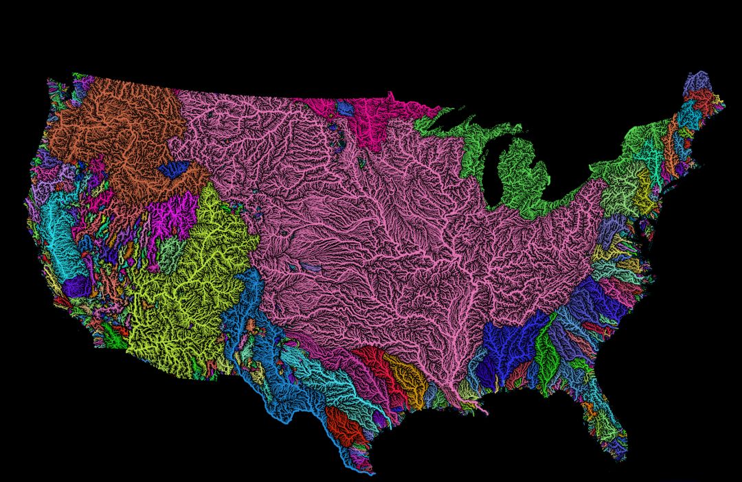
Map of United States rivers
Image: Courtesy Photo
How did you become interested in digital cartography?
We had a course in the first year at university, and there was no looking back. But I always had a fascination with maps. Even going back to 11-12 years old, I could spend hours looking at atlases. When I finished elementary school, I was supposed to give all my school books to my younger brother and I remember arguing with my mom about keeping the geography and history atlases. I won.
What inspired you to intersect cartography with art?
I always had an artistic vein, and looking at a lot of maps I often felt they could look better, or maybe I could do better. And then when I was volunteering in Portugal, I had some free time on my hands. I started practicing and experimenting, creating new map styles and so on. When I uploaded these to some forums, it went viral.
What is the map making process like?
Hunting for data for days sometimes, working on the data so it does what I want, then experimenting a lot with styles, colors, line widths and every little detail, sometime for days or even weeks, if I don't feel the end result is good enough yet. The pros and cons of being a perfectionist, I guess.
How did your maps gain popularity?
Quickly and quite unexpectedly. I just uploaded some of my work to Imgur and Reddit. When I looked a few weeks later, there were a lot of articles around the globe about my work. I remember the first big article being shared almost 800,000 times. That definitely felt like high time to make some career decisions. I mean, these artistic maps started as nothing more than practice.
Do you have a favorite map?
I have a few, but the river basins of the U.S. must be the winner. U.S. rivers are beautiful and, also, this is the map that made my work famous, so I think very fondly of it. Not because of the fame, but because it made me realize I can make a living from my passion, and that's a fantastic feeling.


